American Samoa
Territory · Oceania, Polynesia
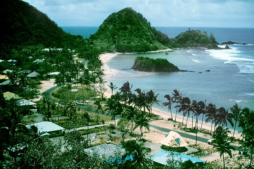
American Samoa is a territory in Oceania located in Polynesia. Its capital is Pago Pago, covering an area of 199 km² with a population of about 46,000.
Highlights
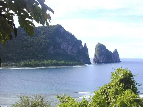
This site covers 2 top sights. The territory features the National Park of American Samoa and Lata Mountain, which is the highest point.
When to go
The climate at the capital, Pago Pago, features average temperatures of 25 °C to 26 °C throughout the year. Rain falls in all months, with the lowest number of rainy days occurring from July to September, ranging from 15 to 18 rainy days per month. January and December experience the highest rainfall, with over 600 mm on about 25 to 26 days.
Practical notes
The currency is the United States dollar. Official languages are English and Samoan. Plugs used are type A, B, F, and I with a voltage of 120.0 V. Driving is on the right side of the road. The time zone is UTC−11:00.
Top sights in American Samoa
Weather by month
Temperatures stay much the same all year, around 26 °C on average. Rain is spread fairly evenly through the year.
| Jan | Feb | Mar | Apr | May | Jun | Jul | Aug | Sep | Oct | Nov | Dec | |
|---|---|---|---|---|---|---|---|---|---|---|---|---|
| Average temperature, °C | 26 | 26 | 26 | 26 | 26 | 26 | 25 | 25 | 25 | 26 | 26 | 26 |
| Rainfall, mm | 632 | 556 | 532 | 501 | 500 | 343 | 350 | 351 | 414 | 523 | 551 | 651 |
| Rainy days | 25 | 24 | 24 | 23 | 22 | 18 | 17 | 16 | 15 | 20 | 24 | 26 |
Temperatures and rainfall: 1981–2010 averages for Pago Pago (4 km grid), from CHELSA. Rainy days: 2015–2024, NASA POWER.