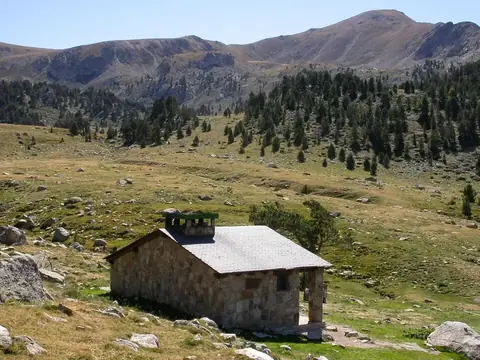
Pyrenees
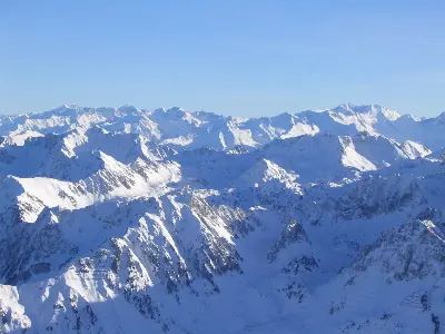
The Pyrenees is a mountain range located in Andorra. It reaches an elevation of 3404 m and spans an area of 19000 km2. It is one of the most looked-up sights in Andorra on English Wikipedia.
Planning a visit
July and August are the warmest months, with daily highs of 18 °C and lows of 9 °C, alongside 93 mm to 105 mm of rain. January and December are the coldest months, with highs of 1 °C to 2 °C and lows dropping to -6 °C and -7 °C. May sees the highest rainfall at 142 mm over 13 days, while July has the fewest rainy days at 8.
The nearest airport is Tarbes-Lourdes-Pyrénées Airport, located 73 km away, while Toulouse-Blagnac Airport is a hub located 120 km away. The mountain range is 78 km from the capital, Andorra la Vella.
Weather by month
The warmest month is July, with an average high of 18 °C. Rain is spread fairly evenly through the year.
| Jan | Feb | Mar | Apr | May | Jun | Jul | Aug | Sep | Oct | Nov | Dec | |
|---|---|---|---|---|---|---|---|---|---|---|---|---|
| Average high, °C | 1 | 2 | 5 | 7 | 11 | 15 | 18 | 18 | 15 | 11 | 5 | 2 |
| Average low, °C | -7 | -6 | -4 | -3 | 2 | 6 | 9 | 9 | 6 | 2 | -3 | -6 |
| Rainfall, mm | 108 | 72 | 91 | 133 | 142 | 112 | 93 | 105 | 110 | 111 | 125 | 118 |
| Rainy days | 11 | 10 | 12 | 13 | 13 | 14 | 8 | 10 | 11 | 11 | 13 | 11 |
Temperatures and rainfall: 1981–2010 averages for this spot (4 km grid), from CHELSA. Rainy days: 2015–2024, NASA POWER.