Mount Tyree
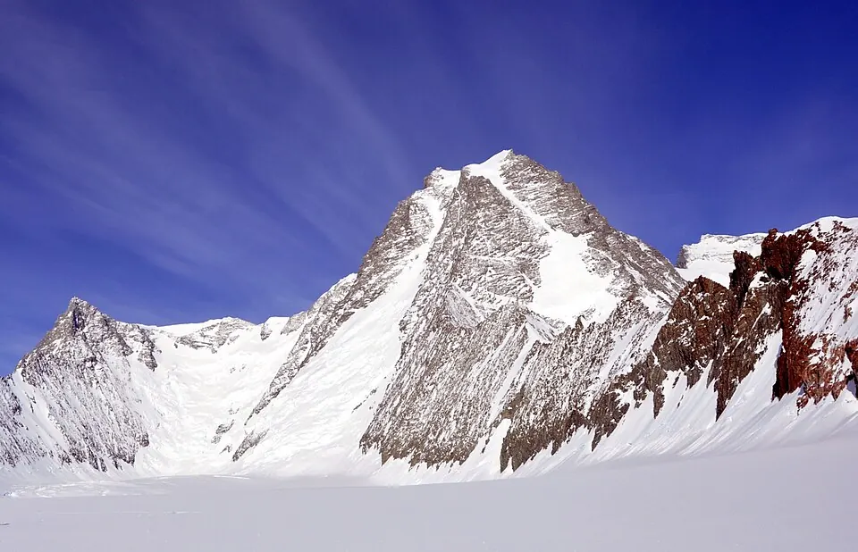
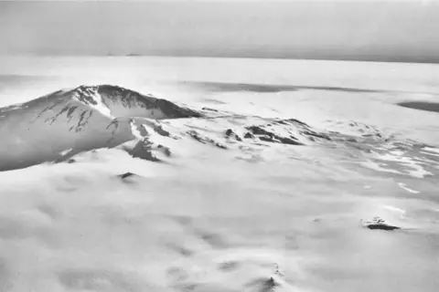
Mount Tyree is a mountain with an elevation of 4852 meters located in Antarctica. It is part of the Sentinel Range and the Seven Second Summits. It is among the most looked-up sights in the country on English Wikipedia.
Planning a visit
The climate remains cold year-round. January is the warmest month with daily highs of -19 °C and lows of -21 °C, alongside 26 mm of precipitation across about 6 days. August is the coldest month with daily highs of -32 °C and lows of -36 °C, and 38 mm of precipitation over about 8 days. Precipitation occurs in all months, with May and October seeing precipitation on about 10 days each.
The mountain is situated in the Antarctic Treaty area. The fact sheet does not list airports, distances, opening hours, prices, wheelchair access, or nearby sights to combine with a visit.
Weather by month
The warmest month is January, with an average high of -19 °C. Rain is spread fairly evenly through the year.
| Jan | Feb | Mar | Apr | May | Jun | Jul | Aug | Sep | Oct | Nov | Dec | |
|---|---|---|---|---|---|---|---|---|---|---|---|---|
| Average high, °C | -19 | -22 | -25 | -27 | -28 | -29 | -31 | -32 | -30 | -27 | -23 | -20 |
| Average low, °C | -21 | -25 | -28 | -31 | -33 | -33 | -35 | -36 | -34 | -31 | -26 | -22 |
| Rainfall, mm | 26 | 21 | 29 | 28 | 38 | 36 | 34 | 38 | 36 | 32 | 29 | 27 |
| Rainy days | 6 | 5 | 8 | 7 | 10 | 8 | 8 | 8 | 9 | 10 | 10 | 9 |
Temperatures and rainfall: 1981–2010 averages for this spot (4 km grid), from CHELSA. Rainy days: 2015–2024, NASA POWER.