Antigua and Barbuda
Country · Americas, Caribbean
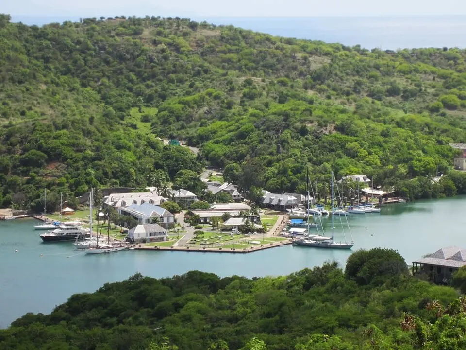
Antigua and Barbuda is an island country located in the Caribbean region of the Americas. The capital is St. John's. The country has an area of 440 square kilometres and a population of about 94,000.
Highlights
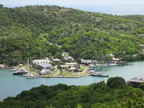
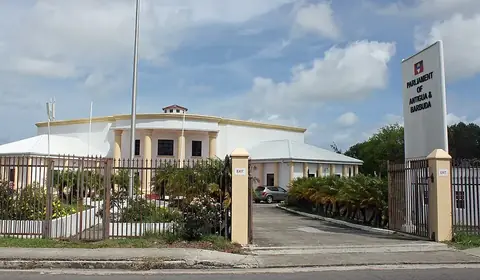
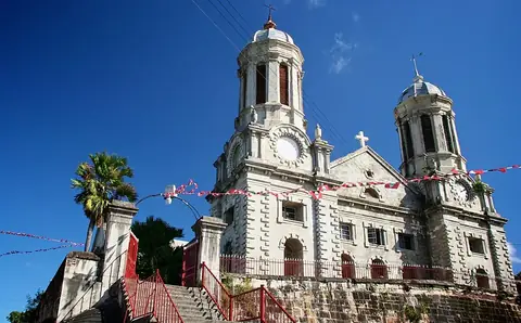
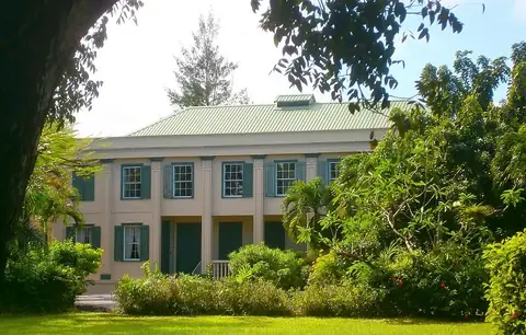
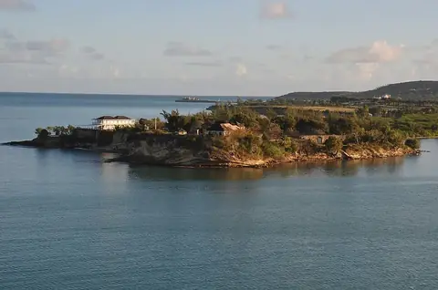
The site covers 5 sights. In the city of Saint John's, travellers can visit the Parliament of Antigua and Barbuda, St. John's Cathedral, Government House, and Fort James. Additionally, the historic Nelson's Dockyard is located in the country.
When to go
The climate at the capital features average temperatures ranging from 25 °C to 27 °C throughout the year. January through March see lower rainfall amounts, with monthly totals between 53 mm and 70 mm. Rainfall increases later in the year, reaching between 148 mm and 184 mm per month from August through November.
Practical notes
The official currency is the Eastern Caribbean dollar. Spoken languages include English and Spanish. The electrical system operates at 230 volts using plugs of type A and B. Driving is on the left side of the road. The time zone is UTC−04:00.
Cities
Top sights in Antigua and Barbuda
Weather by month
The warmest month is September, averaging 27 °C. The wettest is October, with about 184 mm of rain.
| Jan | Feb | Mar | Apr | May | Jun | Jul | Aug | Sep | Oct | Nov | Dec | |
|---|---|---|---|---|---|---|---|---|---|---|---|---|
| Average temperature, °C | 25 | 25 | 25 | 25 | 26 | 27 | 27 | 27 | 27 | 27 | 26 | 26 |
| Rainfall, mm | 70 | 53 | 54 | 77 | 90 | 80 | 109 | 148 | 153 | 184 | 167 | 96 |
| Rainy days | 12 | 10 | 9 | 12 | 14 | 15 | 19 | 19 | 18 | 18 | 16 | 14 |
Temperatures and rainfall: 1981–2010 averages for St. John's (4 km grid), from CHELSA. Rainy days: 2015–2024, NASA POWER.