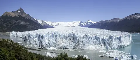
Los Glaciares National Park Parque Nacional Los Glaciares
Argentina UNESCO World Heritage Site
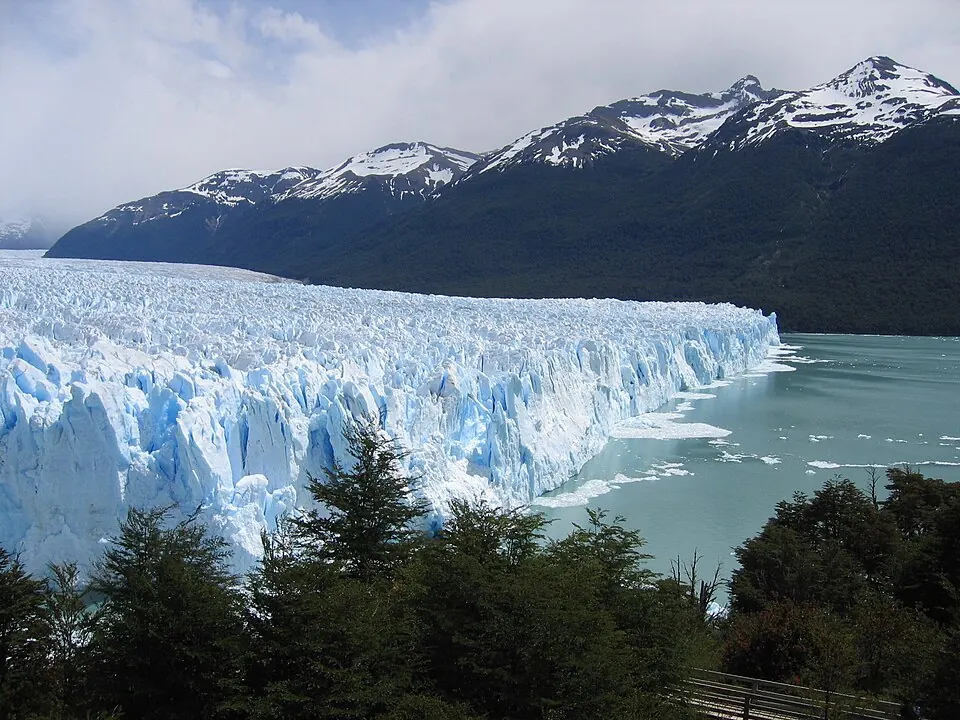
Los Glaciares National Park is a national park in Argentina and a UNESCO World Heritage Site. It covers an area of about 4,459 square kilometers and is one of the 20 sights in Argentina listed on this site.
Planning a visit
The park experiences rain in every month, with the highest amount of rainfall occurring in April with about 386 mm. Temperatures are coolest from June to August, when daily highs reach about 3 °C and lows can drop to -1 °C. The warmest months are January and February, with daily highs of 10 °C.
Travelers can reach the park via El Calafate - Commander Armando Tola International Airport, which is 84 km away. The park is located about 2,123 km from Buenos Aires. Visitors can also combine their trip with a visit to the Perito Moreno Glacier, which is about 20 km away. In 2023, the park had about 689,000 visitors.
Weather by month
The warmest month is February, with an average high of 11 °C. Rain is spread fairly evenly through the year.
| Jan | Feb | Mar | Apr | May | Jun | Jul | Aug | Sep | Oct | Nov | Dec | |
|---|---|---|---|---|---|---|---|---|---|---|---|---|
| Average high, °C | 10 | 11 | 9 | 7 | 5 | 3 | 3 | 3 | 5 | 7 | 8 | 9 |
| Average low, °C | 6 | 6 | 5 | 4 | 2 | 0 | -1 | 0 | 1 | 2 | 4 | 5 |
| Rainfall, mm | 332 | 274 | 343 | 386 | 357 | 326 | 330 | 283 | 248 | 324 | 287 | 341 |
| Rainy days | 23 | 21 | 23 | 20 | 18 | 20 | 19 | 20 | 19 | 20 | 21 | 24 |
Temperatures and rainfall: 1981–2010 averages for this spot (4 km grid), from CHELSA. Rainy days: 2015–2024, NASA POWER.