Dilijan
City in Armenia
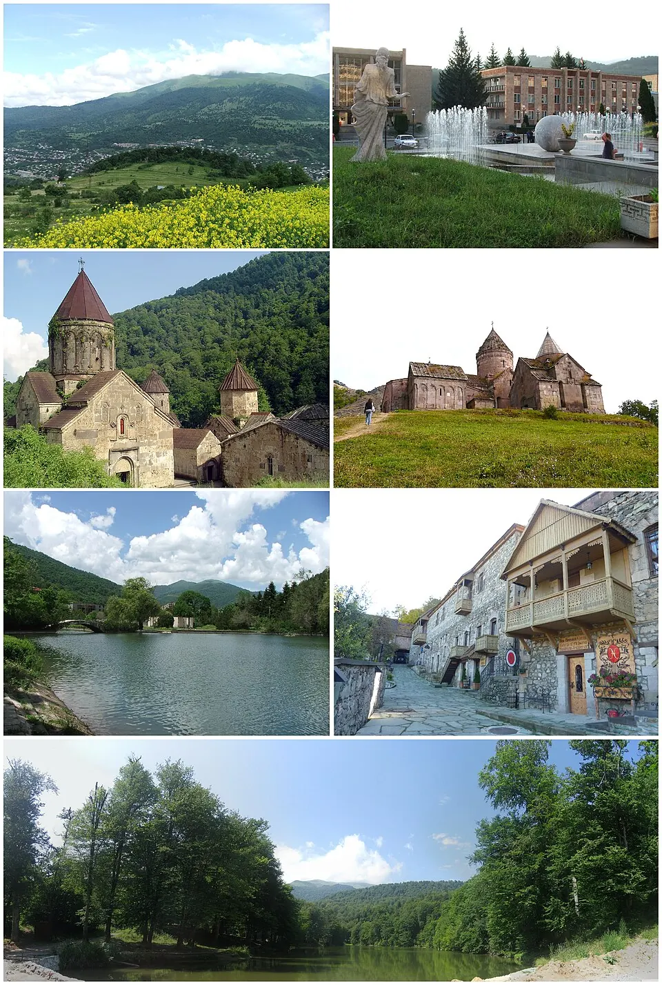
Dilijan is a town in Armenia with a population of 16,600 as of 2016. Located 69 km from the capital, Yerevan, the area is known for Dilijan National Park and its historic religious sites.
What to see
The primary attractions in the area are religious structures and natural landscapes. Visitors can explore the Haghartsin Monastery and Goshavank, both of which are historic sites. Nature enthusiasts can visit Dilijan National Park, which covers the surrounding area.
When to go
The weather varies significantly throughout the year. Winters are cold, with daily highs around 1 °C to 3 °C and lows dropping to -8 °C. Conditions warm up in April, with highs of 12 °C, and reach their peak in July and August with daily highs of 23 °C. Rainfall is most frequent in May, with 16 rainy days, and June, with 14 rainy days. The drier months include August, January, February, and November, which each see about 5 rainy days.
Getting there
The nearest airport is Zvartnots International Airport in Yerevan, located 77 km from Dilijan.
Top sights in Dilijan
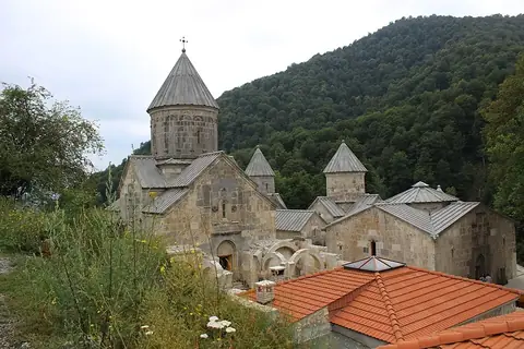
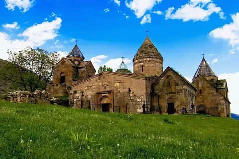
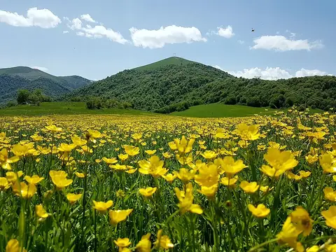
Weather by month
The warmest month is August, with an average high of 23 °C. The wettest is May, with about 98 mm of rain.
| Jan | Feb | Mar | Apr | May | Jun | Jul | Aug | Sep | Oct | Nov | Dec | |
|---|---|---|---|---|---|---|---|---|---|---|---|---|
| Average high, °C | 1 | 1 | 5 | 12 | 16 | 20 | 23 | 23 | 20 | 15 | 8 | 3 |
| Average low, °C | -7 | -7 | -3 | 2 | 6 | 11 | 14 | 15 | 11 | 6 | 0 | -5 |
| Rainfall, mm | 25 | 34 | 49 | 75 | 98 | 96 | 67 | 51 | 38 | 54 | 42 | 24 |
| Rainy days | 5 | 5 | 11 | 10 | 16 | 14 | 9 | 5 | 6 | 8 | 5 | 6 |
Temperatures and rainfall: 1981–2010 averages for Dilijan (4 km grid), from CHELSA. Rainy days: 2015–2024, NASA POWER.