Aruba
Territory · Americas, Caribbean
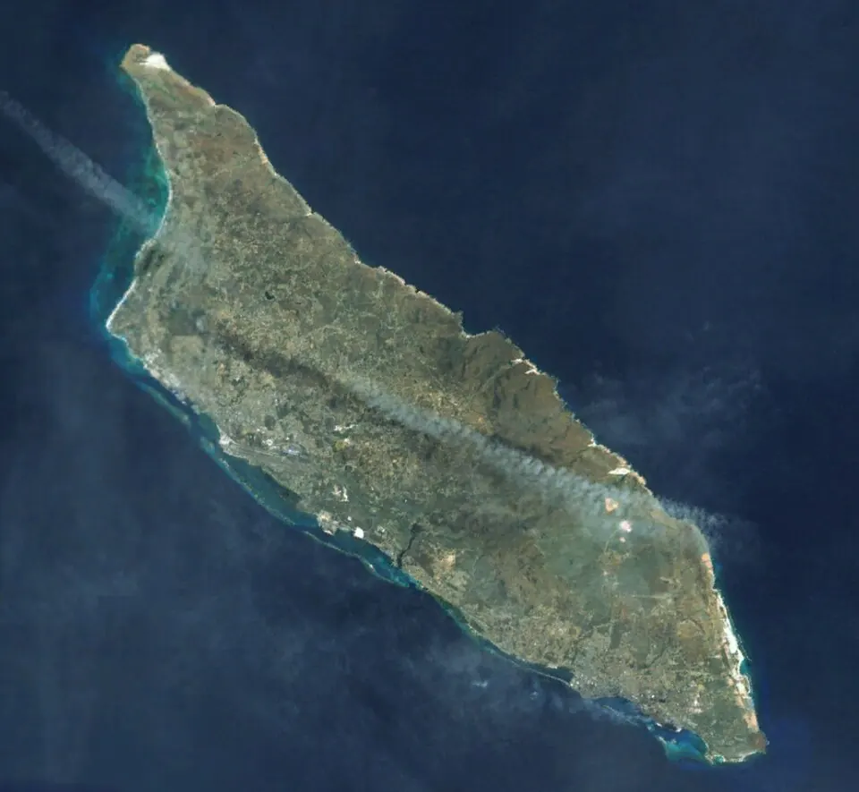
Aruba is a territory in the Caribbean region of the Americas. It covers 179 square kilometers, has a population of about 109,000, and is a sovereign part of the Netherlands with Oranjestad as its capital.
Highlights
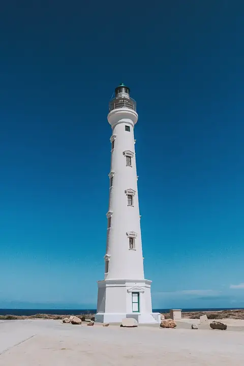
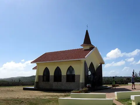
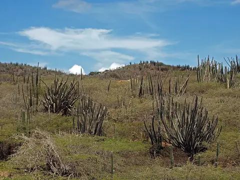
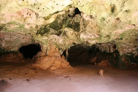
This guide covers 4 sights across the territory. Visitors can explore the landscape at Arikok National Park and the Quadiriki Caves, or visit historical and religious sites such as the California Lighthouse and the Alto Vista Chapel. The city of Noord is also located on the island.
When to go
The climate in Oranjestad features consistent average temperatures between 26 °C and 28 °C throughout the year. The driest months are February, March, and April, which see minimal rainfall on 1 to 4 days. Rainfall increases toward the end of the year, with October, November, and December experiencing the most frequent wet days.
Practical notes
The official languages are Dutch and Papiamento. The currency is the Aruban florin. Aruba operates on UTC−04:00 time. Electrical outlets use types A, B, and F, with a voltage of 127 V. Vehicles drive on the right side of the road.
Cities
Top sights in Aruba
Weather by month
The warmest month is September, averaging 28 °C. The wettest is November, with about 85 mm of rain.
| Jan | Feb | Mar | Apr | May | Jun | Jul | Aug | Sep | Oct | Nov | Dec | |
|---|---|---|---|---|---|---|---|---|---|---|---|---|
| Average temperature, °C | 26 | 26 | 26 | 26 | 27 | 27 | 27 | 27 | 28 | 27 | 27 | 26 |
| Rainfall, mm | 37 | 20 | 11 | 17 | 19 | 20 | 30 | 26 | 54 | 76 | 85 | 83 |
| Rainy days | 7 | 4 | 3 | 1 | 3 | 4 | 6 | 6 | 8 | 15 | 16 | 10 |
Temperatures and rainfall: 1981–2010 averages for Oranjestad (4 km grid), from CHELSA. Rainy days: 2015–2024, NASA POWER.
Also worth a look
- Fort Zoutman