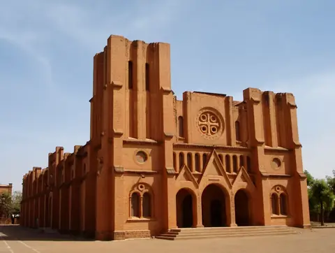
Ruins of Loropéni
Gaoua, Burkina Faso UNESCO World Heritage Site
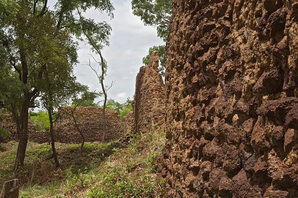
The Ruins of Loropéni in Burkina Faso is an archaeological site and World Heritage Site originating from the 14th century. It is located in Loropéni and ranks as one of the most looked-up sights in Burkina Faso on English Wikipedia.
Planning a visit
The site experiences high temperatures throughout the year, with daily highs reaching 38 °C in March and lows of 19 °C in January and December. Rain varies significantly by month, with drier conditions from November to February, where rain ranges from 1 mm to 13 mm over 0 to 2 days per month. The wet season runs from May to October, peaking in August with 233 mm of rain over about 28 days.
The nearest airport is Bobo Dioulasso Airport, located 126 km away. The site is situated 319 km from the capital city of Ouagadougou.
Weather by month
The warmest month is March, with an average high of 38 °C. The wettest is August, with about 233 mm of rain.
| Jan | Feb | Mar | Apr | May | Jun | Jul | Aug | Sep | Oct | Nov | Dec | |
|---|---|---|---|---|---|---|---|---|---|---|---|---|
| Average high, °C | 34 | 36 | 38 | 36 | 34 | 32 | 29 | 28 | 29 | 31 | 34 | 34 |
| Average low, °C | 19 | 22 | 24 | 25 | 24 | 23 | 22 | 22 | 22 | 22 | 21 | 19 |
| Rainfall, mm | 1 | 8 | 28 | 65 | 106 | 128 | 187 | 233 | 195 | 82 | 13 | 2 |
| Rainy days | 0 | 1 | 6 | 10 | 21 | 24 | 28 | 28 | 27 | 17 | 2 | 0 |
Temperatures and rainfall: 1981–2010 averages for this spot (4 km grid), from CHELSA. Rainy days: 2015–2024, NASA POWER.