Canadian Rockies
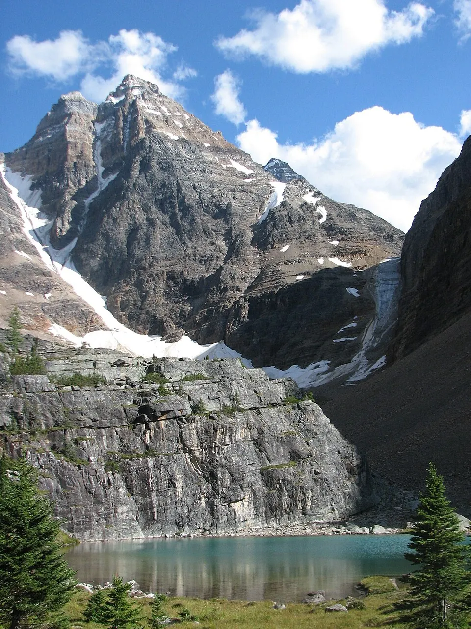
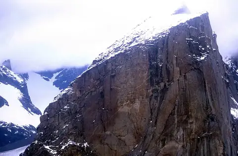
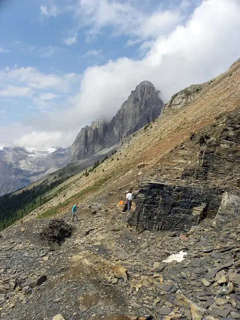
The Canadian Rockies is a mountain range spanning 1.45 million meters in length and 180,000 square kilometers in area. It is located in British Columbia and Alberta and is one of the 93 most looked-up sights in Canada on this site.
Planning a visit
The climate varies significantly by month. July and August have the highest temperatures, with daily highs around 9 °C and lows around -2 °C. In contrast, January is the coldest month, with daily highs of -17 °C and lows of -23 °C. Rainfall occurs throughout the year, with the most precipitation recorded in January at 144 mm.
To reach the area, you can fly into Williams Lake Airport, which is 221 km away, or Kelowna International Airport, located 351 km from the range. The mountains are approximately 3,213 km from Ottawa.
Weather by month
The warmest month is July, with an average high of 9 °C. Rain is spread fairly evenly through the year.
| Jan | Feb | Mar | Apr | May | Jun | Jul | Aug | Sep | Oct | Nov | Dec | |
|---|---|---|---|---|---|---|---|---|---|---|---|---|
| Average high, °C | -17 | -14 | -9 | -5 | 0 | 5 | 9 | 9 | 3 | -5 | -14 | -19 |
| Average low, °C | -23 | -21 | -17 | -13 | -9 | -5 | -2 | -2 | -7 | -14 | -20 | -24 |
| Rainfall, mm | 144 | 90 | 90 | 68 | 86 | 124 | 132 | 125 | 117 | 142 | 137 | 127 |
| Rainy days | 17 | 15 | 17 | 16 | 15 | 19 | 18 | 15 | 16 | 15 | 17 | 14 |
Temperatures and rainfall: 1981–2010 averages for this spot (4 km grid), from CHELSA. Rainy days: 2015–2024, NASA POWER.