Cape Spear
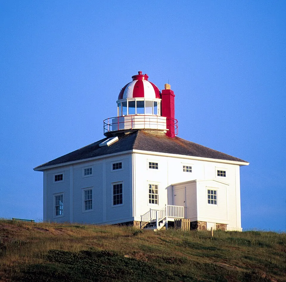
Cape Spear is a cape and peninsula that serves as a national historic site of Canada. It is located in the Newfoundland and Labrador province near St. John's.
Planning a visit
The weather varies throughout the year. July and August are the warmest months, with daily highs of about 17 °C and 18 °C. The coldest period is from January to March, when daily highs stay around 0 °C or 1 °C and lows drop to as low as -6 °C. Rainfall is relatively consistent throughout the year, with the highest monthly amounts occurring in December at about 167 mm.
Visitors can reach the site via St. John's International Airport, which is 15 km away. Cape Spear is located about 1,776 km from the capital, Ottawa. Travelers can also combine a visit here with a trip to Signal Hill in St. John's, which is 6.9 km away.
Weather by month
The warmest month is August, with an average high of 18 °C. Rain is spread fairly evenly through the year.
| Jan | Feb | Mar | Apr | May | Jun | Jul | Aug | Sep | Oct | Nov | Dec | |
|---|---|---|---|---|---|---|---|---|---|---|---|---|
| Average high, °C | 0 | 0 | 1 | 4 | 7 | 12 | 17 | 18 | 15 | 11 | 7 | 3 |
| Average low, °C | -5 | -6 | -4 | 0 | 3 | 7 | 12 | 14 | 11 | 7 | 3 | -1 |
| Rainfall, mm | 146 | 132 | 144 | 124 | 103 | 96 | 94 | 94 | 127 | 159 | 160 | 167 |
| Rainy days | 16 | 16 | 16 | 16 | 14 | 15 | 14 | 14 | 14 | 16 | 15 | 16 |
Temperatures and rainfall: 1981–2010 averages for this spot (4 km grid), from CHELSA. Rainy days: 2015–2024, NASA POWER.