Dempster Highway
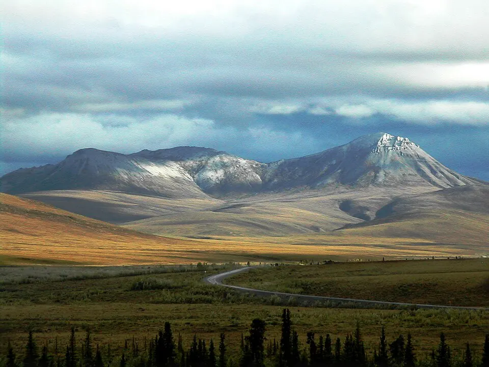
The Dempster Highway is a road located in the Northwest Territories in Canada. It spans a length of 737,500 meters. The site ranks 56th by English Wikipedia lookups among the sights of the country.
Planning a visit
The warmest months to visit are June, July, and August, with daily highs ranging from 14 °C to 18 °C and daily lows between 6 °C and 9 °C. July is the wettest month with 130 mm of rain on about 17 days, while August has rain on about 18 days. The winter months from November to March experience severe cold, with daily highs dropping between -15 °C and -23 °C and daily lows reaching -28 °C.
The nearest airport is Fort Mcpherson Airport, located 38 km away, while the major hub Ted Stevens Anchorage International Airport is 963 km away. The road is located 4,173 km from the capital city of Ottawa.
Weather by month
The warmest month is July, with an average high of 18 °C. The wettest is July, with about 130 mm of rain.
| Jan | Feb | Mar | Apr | May | Jun | Jul | Aug | Sep | Oct | Nov | Dec | |
|---|---|---|---|---|---|---|---|---|---|---|---|---|
| Average high, °C | -23 | -21 | -15 | -4 | 6 | 16 | 18 | 15 | 7 | -6 | -18 | -21 |
| Average low, °C | -28 | -27 | -24 | -13 | -4 | 6 | 9 | 6 | 0 | -12 | -23 | -26 |
| Rainfall, mm | 28 | 28 | 28 | 25 | 35 | 70 | 130 | 98 | 73 | 68 | 44 | 26 |
| Rainy days | 10 | 6 | 8 | 12 | 15 | 16 | 17 | 19 | 15 | 13 | 10 | 10 |
Temperatures and rainfall: 1981–2010 averages for this spot (4 km grid), from CHELSA. Rainy days: 2015–2024, NASA POWER.