L'Anse aux Meadows
Canada UNESCO World Heritage Site
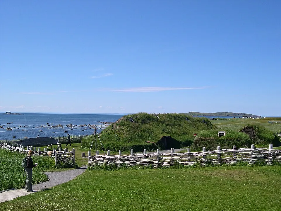
L'Anse aux Meadows is an archaeological site located in Newfoundland and Labrador, Canada. It holds status as a national historic site of Canada and a World Heritage Site, covering an area of 81 km2. It ranks 4th among the country's sights by English Wikipedia lookups out of 88 sights of the country on this site.
Planning a visit
The warmest month is August with daily highs of 13 °C and lows of 10 °C, and 90 mm of rain on about 14 days. January is the coldest month with daily highs of -6 °C and lows of -11 °C, and 107 mm of rain on about 13 days. December has the highest precipitation with 115 mm of rain on about 12 days, while April has rain on about 14 days and 62 mm of rain.
The nearest airport is St. Anthony Airport, located 44 km away. St. John's International Airport is 485 km away, and the distance from the capital Ottawa is 1629 km.
Weather by month
The warmest month is August, with an average high of 13 °C. Rain is spread fairly evenly through the year.
| Jan | Feb | Mar | Apr | May | Jun | Jul | Aug | Sep | Oct | Nov | Dec | |
|---|---|---|---|---|---|---|---|---|---|---|---|---|
| Average high, °C | -6 | -6 | -3 | 0 | 3 | 6 | 10 | 13 | 11 | 6 | 2 | -1 |
| Average low, °C | -11 | -12 | -8 | -3 | 0 | 3 | 7 | 10 | 8 | 4 | -1 | -6 |
| Rainfall, mm | 107 | 95 | 83 | 62 | 66 | 82 | 90 | 90 | 90 | 103 | 92 | 115 |
| Rainy days | 13 | 12 | 13 | 15 | 15 | 16 | 15 | 14 | 14 | 13 | 15 | 12 |
Temperatures and rainfall: 1981–2010 averages for this spot (4 km grid), from CHELSA. Rainy days: 2015–2024, NASA POWER.