Quttinirpaaq National Park
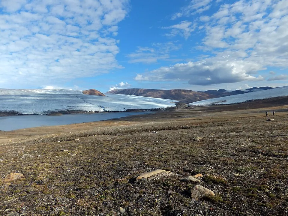
Quttinirpaaq National Park is a national park in Canada and is a Tentative World Heritage Site. It covers an area of about 37,775 square kilometers.
Planning a visit
The weather is coldest from December to March, with daily highs around -32 °C and lows around -36 °C. July is the warmest month with a high of -5 °C, but it also has the most rain at 48 mm. June, July, and August are the months with the most rainy days, averaging about 10 days each.
To reach the park, the nearest airport is Qaanaaq Airport in Greenland, which is 528 km away. The park is located 4,093 km from Ottawa. There are no details provided regarding nearby sights to combine with a visit, opening hours, prices, or wheelchair access.
Weather by month
The warmest month is July, with an average high of -5 °C. Rain is spread fairly evenly through the year.
| Jan | Feb | Mar | Apr | May | Jun | Jul | Aug | Sep | Oct | Nov | Dec | |
|---|---|---|---|---|---|---|---|---|---|---|---|---|
| Average high, °C | -32 | -32 | -32 | -27 | -18 | -9 | -5 | -9 | -16 | -23 | -28 | -30 |
| Average low, °C | -36 | -36 | -35 | -30 | -21 | -12 | -7 | -12 | -20 | -27 | -31 | -34 |
| Rainfall, mm | 11 | 9 | 6 | 15 | 11 | 29 | 48 | 31 | 18 | 14 | 8 | 7 |
| Rainy days | 1 | 1 | 1 | 2 | 4 | 10 | 10 | 11 | 8 | 5 | 3 | 2 |
Temperatures and rainfall: 1981–2010 averages for this spot (4 km grid), from CHELSA. Rainy days: 2015–2024, NASA POWER.