Victoria
City in Canada
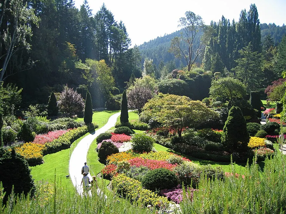
Victoria is a city located on the southern tip of Vancouver Island, Canada, with a population of about 92,000. It is 3,577 km away from the capital, Ottawa. Visitors come to see the Butchart Gardens, the British Columbia Parliament Buildings, and the Royal British Columbia Museum.
What to see
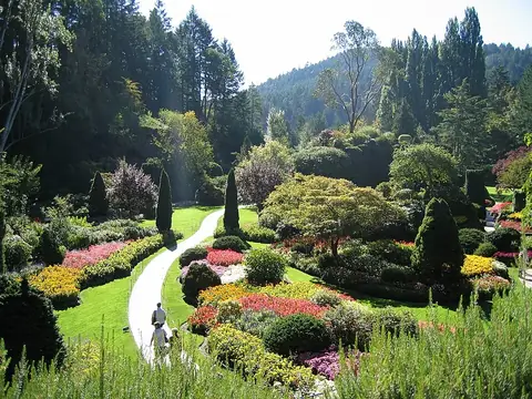
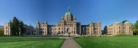
The city features the Butchart Gardens, a prominent botanical site. The British Columbia Parliament Buildings serve as a center for government architecture. The Royal British Columbia Museum provides exhibits related to the region.
When to go
July and August are the warmest months, with daily highs around 18 °C and the lowest amount of rainfall, averaging between 18 mm and 26 mm over 5 to 6 rainy days. Conditions become cooler and wetter starting in October and continuing through January, when rainfall peaks at 140 mm over about 20 days and daily highs drop to 7 °C.
Getting there
Victoria International Airport is the nearest airport, located 25 km from the city.
Top sights in Victoria

Weather by month
The warmest month is August, with an average high of 18 °C. The wettest is November, with about 170 mm of rain.
| Jan | Feb | Mar | Apr | May | Jun | Jul | Aug | Sep | Oct | Nov | Dec | |
|---|---|---|---|---|---|---|---|---|---|---|---|---|
| Average high, °C | 7 | 8 | 9 | 11 | 13 | 15 | 18 | 18 | 16 | 12 | 9 | 7 |
| Average low, °C | 5 | 5 | 6 | 8 | 10 | 11 | 13 | 14 | 12 | 10 | 7 | 5 |
| Rainfall, mm | 140 | 92 | 71 | 53 | 40 | 30 | 18 | 26 | 32 | 96 | 170 | 135 |
| Rainy days | 20 | 19 | 18 | 17 | 12 | 10 | 5 | 6 | 11 | 17 | 21 | 23 |
Temperatures and rainfall: 1981–2010 averages for Victoria (4 km grid), from CHELSA. Rainy days: 2015–2024, NASA POWER.