Yoho National Park
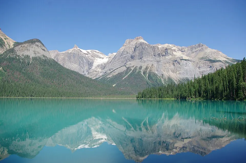
Yoho National Park is a national park in Canada that is part of a UNESCO World Heritage Site. It covers an area of 1,313 km2 and is managed by Parks Canada.
Planning a visit
The warmest months are July and August, with daily highs of 18 °C. The coldest period is December, when daily highs reach -10 °C and lows drop to -17 °C. Rainfall is highest in June, with 106 mm of rain over about 21 days. To reach the park, you can fly into Calgary International Airport, which is 175 km away. The park is 3,041 km from Ottawa.
Visitors can combine a trip to Yoho National Park with nearby sites such as the Canadian Rocky Mountain Parks World Heritage Site, which is 3.3 km away, or the Burgess Shale, located 4.4 km away. Other nearby locations include Lake Louise at 18.1 km and Moraine Lake at 22.4 km. Yoho National Park is the 73rd most looked-up sight in Canada on English Wikipedia.
Weather by month
The warmest month is August, with an average high of 18 °C. Rain is spread fairly evenly through the year.
| Jan | Feb | Mar | Apr | May | Jun | Jul | Aug | Sep | Oct | Nov | Dec | |
|---|---|---|---|---|---|---|---|---|---|---|---|---|
| Average high, °C | -8 | -5 | 0 | 4 | 9 | 14 | 18 | 18 | 13 | 5 | -4 | -10 |
| Average low, °C | -15 | -13 | -9 | -5 | -1 | 4 | 7 | 7 | 2 | -5 | -12 | -17 |
| Rainfall, mm | 88 | 53 | 52 | 52 | 72 | 106 | 98 | 88 | 74 | 68 | 90 | 82 |
| Rainy days | 17 | 17 | 19 | 18 | 18 | 21 | 16 | 16 | 16 | 17 | 20 | 17 |
Temperatures and rainfall: 1981–2010 averages for this spot (4 km grid), from CHELSA. Rainy days: 2015–2024, NASA POWER.