Caribbean Netherlands
Territory · Americas, Caribbean
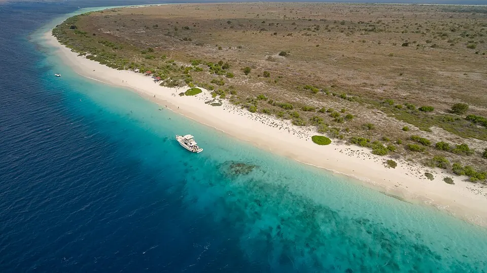
The Caribbean Netherlands is a territory located in the Caribbean region of the Americas, covering an area of 322 square kilometers with a population of about 29,000 in 2023. It is a sovereign part of the Netherlands and offers travelers a destination with specific climate patterns and practical travel information.
When to go
The monthly climate at the capital shows average temperatures ranging from 25 °C in February to 28 °C in September. Rainfall varies throughout the year. March and April are among the drier months with 11 mm of rain on about 2 days and 28 mm on about 1 day, while November is the wettest month with 131 mm of rain on about 12 days. October also sees higher rainfall with 81 mm on about 13 days.
Practical notes
The currency used is the United States dollar. Official languages are Dutch, English, and Papiamento. Driving is on the right side of the road. The calling code is +599, and the time zone is UTC−04:00. Top-level domains include .bq and .nl.
Weather by month
The warmest month is September, averaging 28 °C. The wettest is November, with about 131 mm of rain.
| Jan | Feb | Mar | Apr | May | Jun | Jul | Aug | Sep | Oct | Nov | Dec | |
|---|---|---|---|---|---|---|---|---|---|---|---|---|
| Average temperature, °C | 26 | 25 | 26 | 26 | 27 | 27 | 27 | 27 | 28 | 27 | 27 | 26 |
| Rainfall, mm | 49 | 26 | 11 | 28 | 18 | 24 | 41 | 37 | 47 | 81 | 131 | 82 |
| Rainy days | 8 | 3 | 2 | 1 | 2 | 4 | 5 | 5 | 8 | 13 | 12 | 10 |
Temperatures and rainfall: 1981–2010 averages for Caribbean Netherlands (4 km grid), from CHELSA. Rainy days: 2015–2024, NASA POWER.