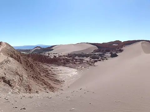
El Tatio
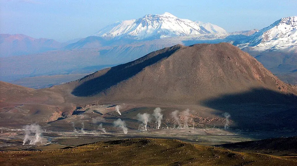
El Tatio is a mountain, body of water, and hot spring located in the Andes at an elevation of 4,320 meters. It is an IUGS Geological Heritage Site and is one of the 14 most looked-up sights in Chile on English Wikipedia.
Planning a visit
The weather is warmest from November to March, with daily highs reaching about 12 °C. During these months, rainfall occurs on about 1 day per month, with January and February seeing about 112 mm of rain. From May to September, the site is colder, with daily lows dropping to about -6 °C and highs staying around 5 °C.
To reach El Tatio, you can fly to El Loa Airport in Calama, which is 94 km away. The site is 1,262 km from the capital, Santiago. The entrance fee is 15,000 pesos.
Weather by month
The warmest month is December, with an average high of 12 °C. The wettest is January, with about 112 mm of rain.
| Jan | Feb | Mar | Apr | May | Jun | Jul | Aug | Sep | Oct | Nov | Dec | |
|---|---|---|---|---|---|---|---|---|---|---|---|---|
| Average high, °C | 11 | 11 | 11 | 10 | 7 | 5 | 5 | 7 | 8 | 11 | 12 | 12 |
| Average low, °C | 0 | 0 | -1 | -2 | -4 | -5 | -6 | -5 | -4 | -3 | -2 | 0 |
| Rainfall, mm | 112 | 112 | 56 | 9 | 6 | 9 | 4 | 4 | 4 | 8 | 16 | 49 |
| Rainy days | 1 | 1 | 1 | 0 | 0 | 0 | 0 | 0 | 0 | 0 | 0 | 1 |
Temperatures and rainfall: 1981–2010 averages for this spot (4 km grid), from CHELSA. Rainy days: 2015–2024, NASA POWER.