Hoh Xil 可可西里
China UNESCO World Heritage Site
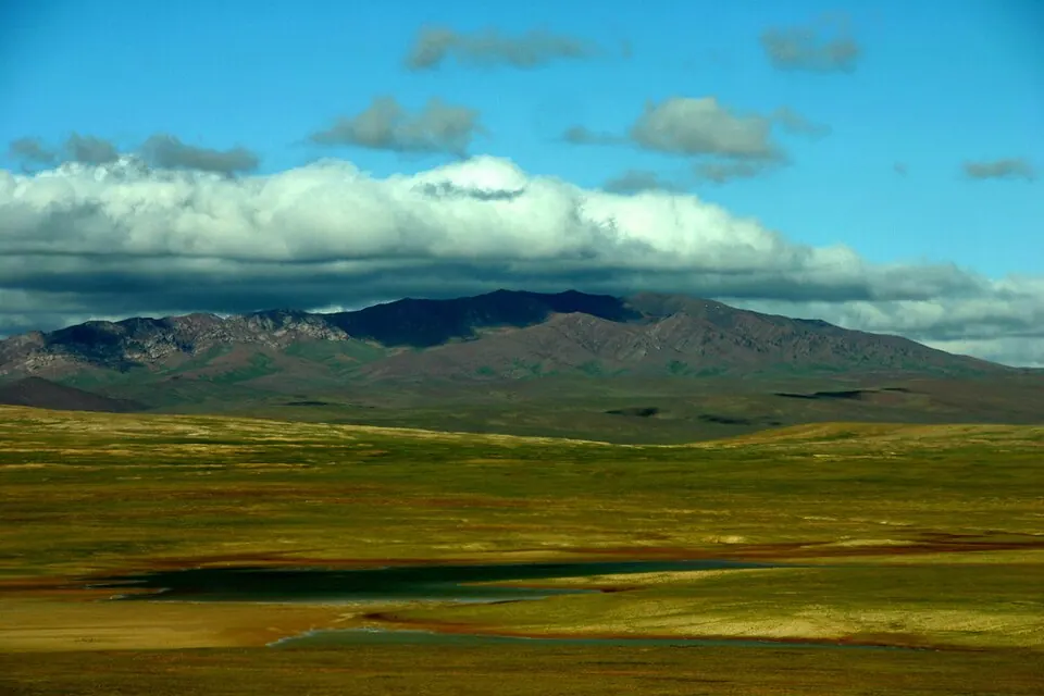
Hoh Xil is a natural region in China and is designated as a UNESCO World Heritage Site. It covers an area of about 37,000 km2 in the Qinghai province.
Planning a visit
The weather in Hoh Xil is cold throughout the year. The warmest months are July and August, which have daily highs of about 9 °C and lows of about -2 °C. These months also receive the most rain, with about 140 mm in July and 127 mm in August. The coldest period is between December and February, when daily highs stay below -11 °C and lows can reach -27 °C.
Huatugou Airport in Mengnai is the nearest airport, located 340 km away. Dunhuang Mogao International Airport is another option at 650 km. Hoh Xil is about 2,294 km from Beijing. It is one of the 130 sights of China listed on this site and is ranked 116 in popularity among the country's sights based on English Wikipedia lookups.
Weather by month
The warmest month is July, with an average high of 9 °C. The wettest is July, with about 140 mm of rain.
| Jan | Feb | Mar | Apr | May | Jun | Jul | Aug | Sep | Oct | Nov | Dec | |
|---|---|---|---|---|---|---|---|---|---|---|---|---|
| Average high, °C | -13 | -11 | -7 | -4 | 1 | 6 | 9 | 9 | 5 | -4 | -9 | -12 |
| Average low, °C | -27 | -25 | -22 | -21 | -14 | -6 | -2 | -2 | -7 | -19 | -25 | -26 |
| Rainfall, mm | 8 | 7 | 9 | 12 | 37 | 101 | 140 | 127 | 73 | 16 | 4 | 5 |
| Rainy days | 0 | 1 | 2 | 6 | 12 | 19 | 17 | 18 | 15 | 4 | 0 | 0 |
Temperatures and rainfall: 1981–2010 averages for this spot (4 km grid), from CHELSA. Rainy days: 2015–2024, NASA POWER.