Huajiang Canyon Bridge
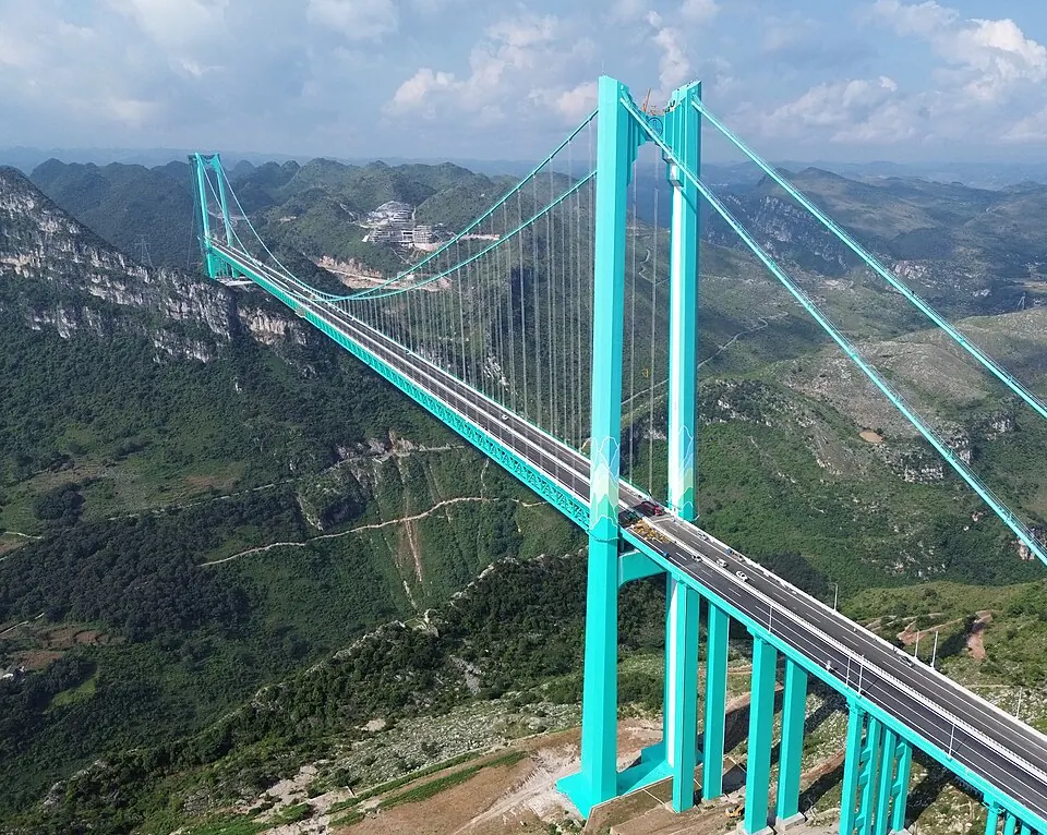
The Huajiang Canyon Bridge is a suspension bridge and motorway river bridge located in Guanling Buyei and Miao Autonomous County, China. Completed in 2025, the structure spans 2,890 meters across the landscape. It ranks among the most looked-up sights in China.
Planning a visit
The climate in the region varies significantly throughout the year. Visitors planning to avoid heavy precipitation should consider the winter months of December, January, and February, which receive between 18 mm and 25 mm of rain over 4 to 6 days. Spring offers mild temperatures, with highs of 19 °C in March and 23 °C in April. Summer, from May through August, brings the highest temperatures, reaching 27 °C, but also the most consistent rainfall, with June recording 272 mm of rain across 24 days.
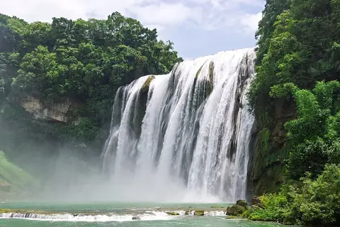
To reach the bridge, travelers can fly into Anshun Huangguoshu Airport, located 68 km away, or the larger Guiyang Longdongbao International Airport, which is 153 km from the site. For those traveling from Beijing, the distance is 1,872 km. The bridge is situated 32.9 km from Huangguoshu Waterfall, making it possible to visit both locations on the same trip.
Weather by month
The warmest month is July, with an average high of 27 °C. The wettest is June, with about 272 mm of rain.
| Jan | Feb | Mar | Apr | May | Jun | Jul | Aug | Sep | Oct | Nov | Dec | |
|---|---|---|---|---|---|---|---|---|---|---|---|---|
| Average high, °C | 12 | 15 | 19 | 23 | 26 | 27 | 27 | 27 | 25 | 21 | 17 | 13 |
| Average low, °C | 4 | 6 | 9 | 13 | 17 | 19 | 20 | 20 | 17 | 14 | 10 | 6 |
| Rainfall, mm | 22 | 25 | 34 | 69 | 177 | 272 | 233 | 163 | 106 | 86 | 40 | 18 |
| Rainy days | 6 | 5 | 10 | 14 | 20 | 24 | 20 | 22 | 16 | 16 | 6 | 4 |
Temperatures and rainfall: 1981–2010 averages for this spot (4 km grid), from CHELSA. Rainy days: 2015–2024, NASA POWER.