Yarlung Tsangpo Grand Canyon
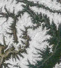
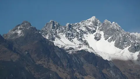
The Yarlung Tsangpo Grand Canyon is a nature reserve and a Chinese AAAAA-rated tourist attraction in the Tibet Autonomous Region. It covers an area of about 9,168 km2 and is one of the 130 sights of China listed on this site.
Planning a visit
The canyon experiences different weather throughout the year. The warmest months are July and August, with daily highs of 14 °C. The wettest period occurs between June and September, with June seeing about 21 rainy days. The coldest months are January and December, when daily lows reach between -15 °C and -16 °C.
To reach the canyon, the nearest airport is Nyingchi Mainling Airport, which is 82 km away. Lhasa Gonggar International Airport is a further 398 km away. The site is located approximately 2,248 km from Beijing.
Weather by month
The warmest month is August, with an average high of 14 °C. The wettest is June, with about 391 mm of rain.
| Jan | Feb | Mar | Apr | May | Jun | Jul | Aug | Sep | Oct | Nov | Dec | |
|---|---|---|---|---|---|---|---|---|---|---|---|---|
| Average high, °C | -7 | -5 | -2 | 1 | 5 | 12 | 14 | 14 | 11 | 5 | -1 | -5 |
| Average low, °C | -16 | -12 | -8 | -4 | 0 | 5 | 7 | 7 | 5 | -1 | -10 | -15 |
| Rainfall, mm | 18 | 49 | 138 | 208 | 268 | 391 | 367 | 289 | 308 | 173 | 34 | 16 |
| Rainy days | 1 | 3 | 6 | 15 | 16 | 21 | 22 | 18 | 20 | 12 | 2 | 1 |
Temperatures and rainfall: 1981–2010 averages for this spot (4 km grid), from CHELSA. Rainy days: 2015–2024, NASA POWER.