Curaçao
Territory · Americas, Caribbean
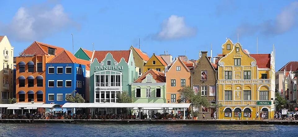
Curaçao is a Caribbean territory with a population of about 156,000 people and a land area of 444 square kilometers. As a constituent territory of the Netherlands, it is situated in the Americas. Travelers visiting the region will find a destination focused on its capital, Willemstad, which serves as the primary hub for the territory.
Highlights
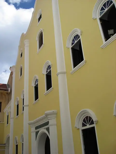
The territory features one notable site, the Curaçao Synagogue, which is located in the capital city of Willemstad. This site represents the primary cultural attraction covered in this reference.
Food and drink
The local culinary scene includes the dish known as Curaçao.
When to go
Travelers visiting Willemstad will find consistent temperatures averaging between 25 °C and 28 °C throughout the year. Those looking for drier conditions may prefer the months of March and April, which see the least rainfall at 14 millimeters and 29 millimeters respectively. Rainfall totals increase starting in October and continue through December, with November recording the highest precipitation at 131 millimeters over about 13 days.
Practical notes
The official currency is the Caribbean guilder. Dutch, Papiamento, and English are the spoken languages. The territory uses a 120-volt electrical system with type A and B plugs. Driving occurs on the right side of the road. The time zone is UTC−04:00, the international calling code is +5999, and the internet top-level domain is .cw.
Food and drink to try in Curaçao
- Curaçao
Top sights in Curaçao
Weather by month
The warmest month is September, averaging 28 °C. The wettest is November, with about 131 mm of rain.
| Jan | Feb | Mar | Apr | May | Jun | Jul | Aug | Sep | Oct | Nov | Dec | |
|---|---|---|---|---|---|---|---|---|---|---|---|---|
| Average temperature, °C | 26 | 25 | 26 | 26 | 27 | 27 | 27 | 27 | 28 | 27 | 27 | 26 |
| Rainfall, mm | 49 | 32 | 14 | 29 | 22 | 25 | 37 | 44 | 51 | 95 | 131 | 103 |
| Rainy days | 9 | 4 | 3 | 1 | 2 | 4 | 6 | 6 | 8 | 14 | 13 | 12 |
Temperatures and rainfall: 1981–2010 averages for Willemstad (4 km grid), from CHELSA. Rainy days: 2015–2024, NASA POWER.