Bahía de las Águilas
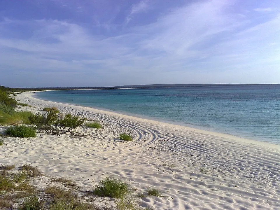
Bahía de las Águilas is a bight located in the Pedernales province of the Dominican Republic. It is one of the more frequently looked-up sights in the country according to English Wikipedia data.
Planning a visit
The climate at Bahía de las Águilas remains warm year-round, with daily highs ranging between 28 °C and 31 °C. The months of January through April are the driest, typically seeing 16 mm to 34 mm of rain over 8 to 10 days, making them suitable for visiting. Rainfall increases significantly from August through October, with September and October experiencing the most precipitation, reaching up to 90 mm over 18 to 19 days. Temperatures stay relatively consistent, with lows hovering around 24 °C to 26 °C throughout the year.
To reach this location, the nearest airport is Maria Montez International Airport in Barahona, situated 70 km away. Alternatively, Toussaint Louverture International Airport in Port-au-Prince is 105 km from the site. The bight is located 193 km from the capital city, Santo Domingo. There are no nearby sights listed for combination visits.
Weather by month
The warmest month is July, with an average high of 31 °C. The wettest is October, with about 90 mm of rain.
| Jan | Feb | Mar | Apr | May | Jun | Jul | Aug | Sep | Oct | Nov | Dec | |
|---|---|---|---|---|---|---|---|---|---|---|---|---|
| Average high, °C | 28 | 28 | 28 | 29 | 29 | 30 | 31 | 31 | 30 | 30 | 29 | 29 |
| Average low, °C | 24 | 24 | 24 | 25 | 25 | 26 | 26 | 26 | 26 | 26 | 25 | 24 |
| Rainfall, mm | 18 | 16 | 26 | 34 | 56 | 49 | 29 | 69 | 81 | 90 | 59 | 27 |
| Rainy days | 8 | 8 | 10 | 10 | 13 | 14 | 13 | 16 | 19 | 18 | 16 | 11 |
Temperatures and rainfall: 1981–2010 averages for this spot (4 km grid), from CHELSA. Rainy days: 2015–2024, NASA POWER.