Memphis
Egypt UNESCO World Heritage Site
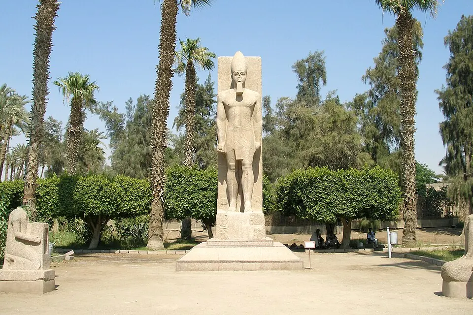
Memphis is an ancient city and Ancient Egyptian archaeological site situated in the Giza Governorate of Egypt. As part of a UNESCO World Heritage Site, it is one of the most looked-up sights in the country. It covers an area of 1.552 square kilometers at an elevation of 20 meters.
Planning a visit
The cooler months from November to March feature daily highs between 19 °C and 25 °C and lows between 8 °C and 14 °C, with minimal rain of up to 3 mm on about 2 to 4 days per month. From June to August, daily highs reach 36 °C with lows of 20 °C to 22 °C and no rain. Memphis is located 22 km from Cairo. The nearest airport is Cairo International Airport, situated 33 km away.
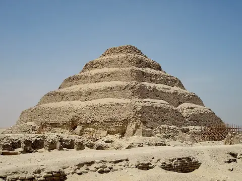
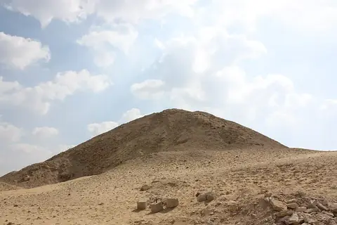
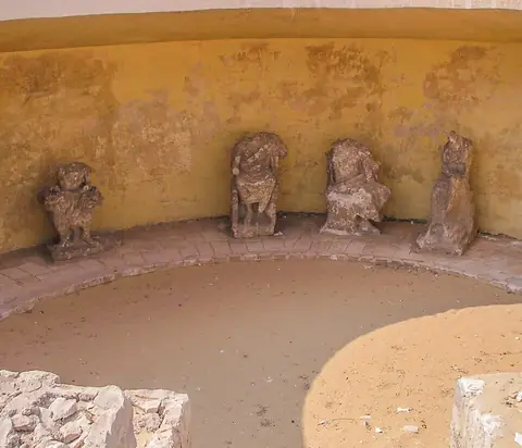
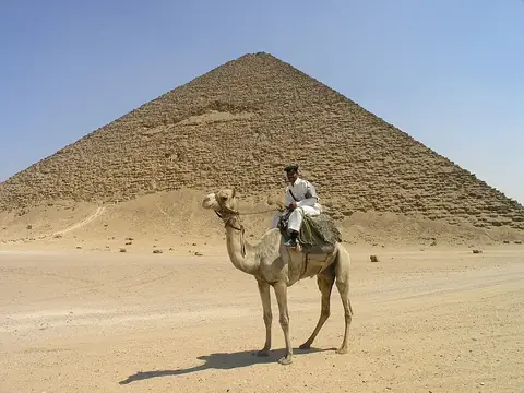
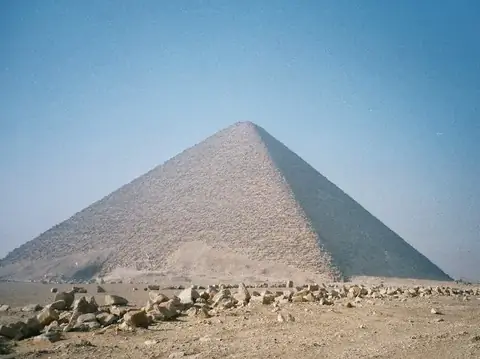
Nearby sights include the Pyramid of Djoser at 4.4 km, the Pyramid of Teti at 4.4 km, the Serapeum of Saqqara at 5.0 km, Dahshur at 5.2 km, and the Red Pyramid at 5.9 km.
Weather by month
The warmest month is July, with an average high of 37 °C. Rain is spread fairly evenly through the year.
| Jan | Feb | Mar | Apr | May | Jun | Jul | Aug | Sep | Oct | Nov | Dec | |
|---|---|---|---|---|---|---|---|---|---|---|---|---|
| Average high, °C | 19 | 20 | 24 | 29 | 33 | 36 | 37 | 36 | 34 | 30 | 25 | 20 |
| Average low, °C | 8 | 9 | 11 | 14 | 17 | 20 | 21 | 22 | 20 | 18 | 14 | 10 |
| Rainfall, mm | 3 | 3 | 3 | 1 | 0 | 0 | 0 | 0 | 0 | 0 | 2 | 3 |
| Rainy days | 4 | 3 | 3 | 2 | 0 | 0 | 0 | 0 | 0 | 2 | 2 | 2 |
Temperatures and rainfall: 1981–2010 averages for this spot (4 km grid), from CHELSA. Rainy days: 2015–2024, NASA POWER.