Danakil Depression
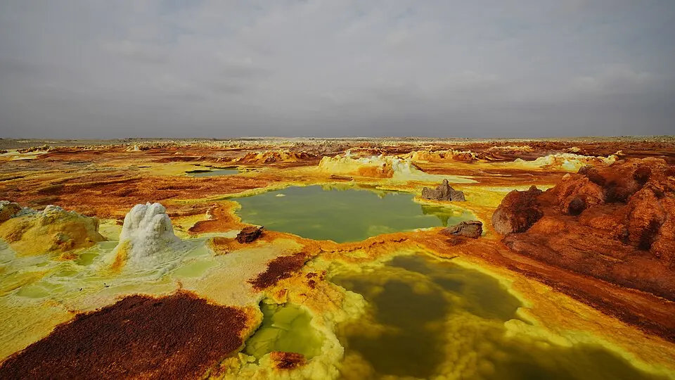
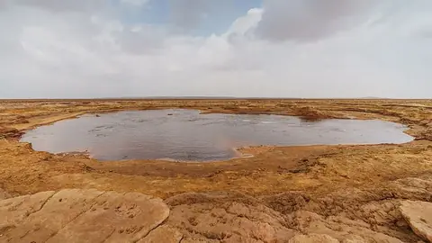
The Danakil Depression is a depression and endorheic basin located in the Afar Region of Ethiopia, sitting at an elevation of -125 m as part of the Afar Triangle. It ranks as the second most looked-up sight in Ethiopia among the country's 15 sights on this site. The destination offers unique geography for travelers interested in extreme landscapes.
Planning a visit
Daily high temperatures range from 34 °C in January and February to 44 °C in June and July, with low temperatures between 23 °C and 30 °C. Monthly rain ranges from 2 mm in June and December to 13 mm in August, with rainy days spanning from about 3 days in January and December to 19 days in August.
The nearest airport is Mekele Alula Aba Nega Airport in Mekele, Ethiopia, located 119 km away, while Djibouti-Ambouli Airport in Djibouti City is 431 km away. The site is 603 km from Addis Ababa. Nearby places to visit include Dallol at 0 km and Gaet'ale Pond at 3.9 km.
Weather by month
The warmest month is June, with an average high of 44 °C. Rain is spread fairly evenly through the year.
| Jan | Feb | Mar | Apr | May | Jun | Jul | Aug | Sep | Oct | Nov | Dec | |
|---|---|---|---|---|---|---|---|---|---|---|---|---|
| Average high, °C | 34 | 34 | 37 | 40 | 43 | 44 | 44 | 43 | 42 | 40 | 38 | 35 |
| Average low, °C | 23 | 23 | 25 | 27 | 28 | 29 | 30 | 30 | 29 | 27 | 25 | 24 |
| Rainfall, mm | 3 | 5 | 9 | 9 | 6 | 2 | 11 | 13 | 8 | 5 | 3 | 2 |
| Rainy days | 3 | 4 | 5 | 13 | 6 | 5 | 18 | 19 | 7 | 7 | 4 | 3 |
Temperatures and rainfall: 1981–2010 averages for this spot (4 km grid), from CHELSA. Rainy days: 2015–2024, NASA POWER.