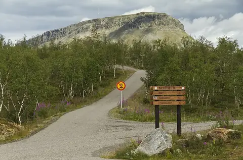
Three-Country Cairn Kolmen Valtakunnan Rajapyykki
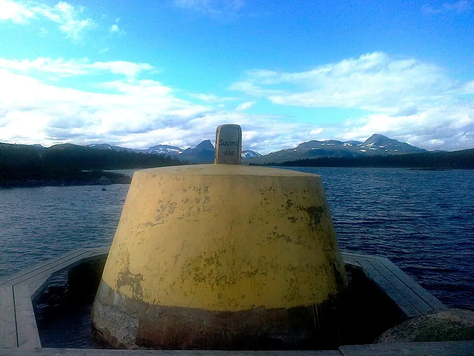
The Three-Country Cairn is a concrete boundary marker located at an international tripoint. It marks the intersection of the Finland–Sweden, Norway–Sweden, and Finland–Norway borders.
Planning a visit
The weather at the cairn varies by season. July is the warmest month with a high of 13 °C, but it also has the most rainfall at 112 mm. The coldest period occurs between December and February, when daily highs reach about -10 °C and lows drop to -15 °C. June and August offer milder temperatures, with highs between 10 °C and 11 °C.
To reach the site, the nearest airport is Bardufoss Airport in Norway, located 80 km away, while Tromsø Airport is 94 km away. The cairn is approximately 1,010 km from Helsinki. Visitors can combine a trip to this tripoint with a visit to Saana, which is 12.3 km away. This site is one of the 17 sights of Finland listed on this website and is the 9th most looked-up sight in the country on English Wikipedia.
Weather by month
The warmest month is July, with an average high of 13 °C. The wettest is July, with about 112 mm of rain.
| Jan | Feb | Mar | Apr | May | Jun | Jul | Aug | Sep | Oct | Nov | Dec | |
|---|---|---|---|---|---|---|---|---|---|---|---|---|
| Average high, °C | -10 | -10 | -7 | -2 | 3 | 10 | 13 | 11 | 6 | -1 | -6 | -9 |
| Average low, °C | -15 | -15 | -12 | -7 | -2 | 4 | 7 | 6 | 1 | -5 | -12 | -14 |
| Rainfall, mm | 81 | 54 | 42 | 37 | 41 | 62 | 112 | 76 | 62 | 69 | 53 | 66 |
| Rainy days | 19 | 17 | 19 | 18 | 20 | 21 | 21 | 23 | 19 | 19 | 17 | 19 |
Temperatures and rainfall: 1981–2010 averages for this spot (4 km grid), from CHELSA. Rainy days: 2015–2024, NASA POWER.