French Alps Alpes françaises
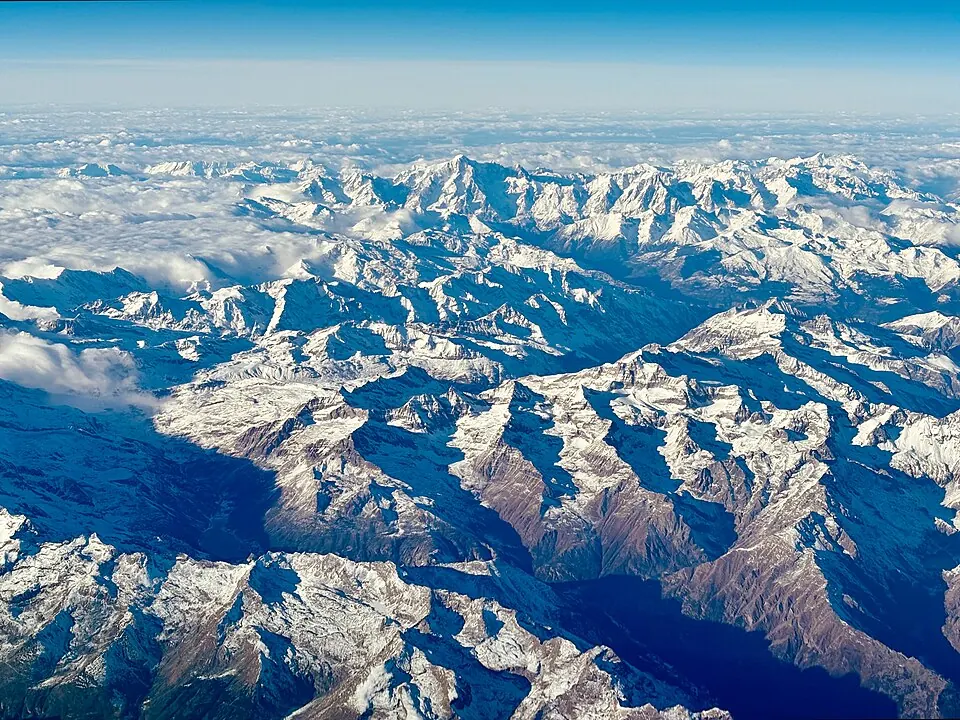
The French Alps is a mountain range in France that spans parts of the Rhône-Alpes, Auvergne-Rhône-Alpes, and Provence-Alpes-Côte d'Azur regions. It is one of the 125 sights listed for France and is the 27th most looked-up sight in the country on English Wikipedia.
Planning a visit
The weather varies by season. July and August have the warmest daily highs at 20 °C and the fewest rainy days, with about 10 days of rain each month. The coldest period is in January, when daily highs are -2 °C and lows reach -9 °C. September is the wettest month, with about 92 mm of rain.
The range is located about 550 km from Paris. For air travel, Cuneo International Airport in Italy is the nearest airport at 93 km away, followed by Turin Airport at about 101 km.
Weather by month
The warmest month is July, with an average high of 21 °C. Rain is spread fairly evenly through the year.
| Jan | Feb | Mar | Apr | May | Jun | Jul | Aug | Sep | Oct | Nov | Dec | |
|---|---|---|---|---|---|---|---|---|---|---|---|---|
| Average high, °C | -1 | 0 | 3 | 6 | 11 | 17 | 21 | 20 | 17 | 11 | 4 | -1 |
| Average low, °C | -9 | -8 | -5 | -2 | 2 | 7 | 10 | 10 | 7 | 2 | -4 | -8 |
| Rainfall, mm | 78 | 58 | 67 | 89 | 88 | 79 | 56 | 61 | 92 | 119 | 94 | 102 |
| Rainy days | 12 | 10 | 12 | 12 | 19 | 17 | 10 | 10 | 12 | 12 | 12 | 13 |
Temperatures and rainfall: 1981–2010 averages for this spot (4 km grid), from CHELSA. Rainy days: 2015–2024, NASA POWER.