Gagra
City in Georgia
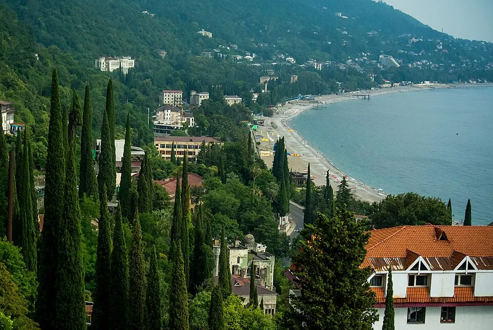
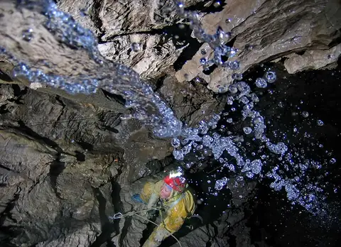
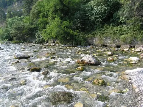
Gagra is located in Georgia, 409 km from the capital, Tbilisi. With a population of about 12,000, the city serves as a base to explore natural sites including Lake Ritsa, the Reprua River, and the Krubera Cave.
What to see
The area around Gagra is defined by its geography. Visitors can explore the Reprua River and travel to Lake Ritsa. The region also features the Krubera Cave.
When to go
The summer months from June to August offer the warmest weather, with daily highs between 22 °C and 25 °C and the fewest rainy days of the year. Temperatures drop significantly in the winter, with highs of 6 °C in January and February. Rainfall is consistent throughout the year, with the highest precipitation occurring in November and December.
Getting there
The nearest airport is Vladislav Ardzinba Sukhum International Airport, located 84 km from Gagra.
Top sights in Gagra

Weather by month
The warmest month is August, with an average high of 25 °C. Rain is spread fairly evenly through the year.
| Jan | Feb | Mar | Apr | May | Jun | Jul | Aug | Sep | Oct | Nov | Dec | |
|---|---|---|---|---|---|---|---|---|---|---|---|---|
| Average high, °C | 6 | 6 | 9 | 13 | 18 | 22 | 24 | 25 | 22 | 18 | 12 | 9 |
| Average low, °C | 2 | 2 | 4 | 8 | 12 | 16 | 20 | 20 | 17 | 13 | 8 | 4 |
| Rainfall, mm | 215 | 193 | 191 | 169 | 171 | 149 | 150 | 129 | 175 | 222 | 259 | 234 |
| Rainy days | 16 | 13 | 16 | 12 | 14 | 12 | 11 | 9 | 11 | 12 | 13 | 15 |
Temperatures and rainfall: 1981–2010 averages for Gagra (4 km grid), from CHELSA. Rainy days: 2015–2024, NASA POWER.