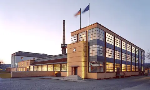
Rhine Gorge
Sankt Goarshausen, Germany UNESCO World Heritage Site
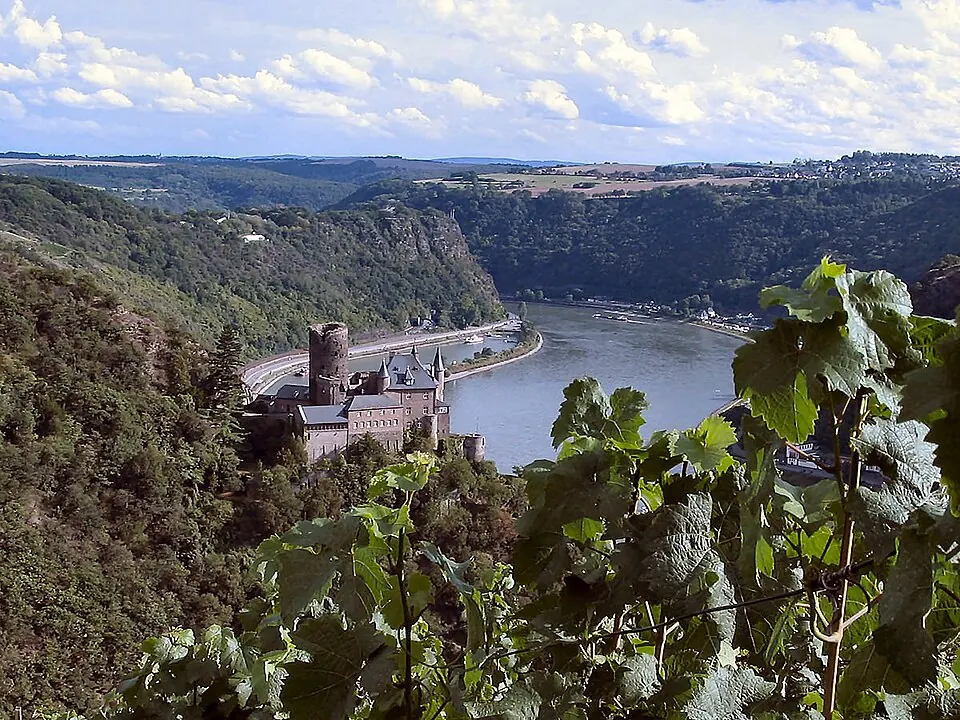
The Rhine Gorge is a UNESCO World Heritage Site and a cultural landscape within the Upper Middle Rhine Valley. It covers an area of 272 km² in the state of Hesse.
Planning a visit
The warmest months are July and August, when daily highs reach 23 °C. For milder weather, May offers highs of 17 °C, while June and September have highs between 18 °C and 20 °C. Rainfall is fairly consistent throughout the year, with the wettest month being June, which has about 58 mm of rain over 13 days. The coldest period is in January, with highs of 3 °C and lows of -2 °C.
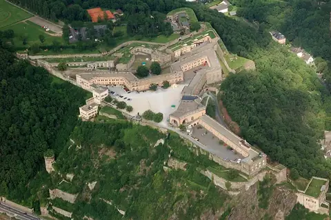
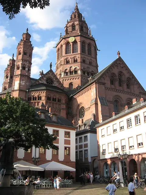
Visitors can reach the area via Frankfurt-Hahn Airport, which is 40 km away. The site is located 473 km from Berlin. While visiting the gorge, you can also see nearby sites such as Lorelei (4.5 km), Marksburg (11.4 km), Ehrenbreitstein Fortress (22 km), Eltz Castle (25.7 km), and Mainz Cathedral (45.7 km). The Rhine Gorge is ranked 108th among the most looked-up sights in Germany on English Wikipedia.
Weather by month
The warmest month is July, with an average high of 23 °C. Rain is spread fairly evenly through the year.
| Jan | Feb | Mar | Apr | May | Jun | Jul | Aug | Sep | Oct | Nov | Dec | |
|---|---|---|---|---|---|---|---|---|---|---|---|---|
| Average high, °C | 3 | 5 | 9 | 13 | 17 | 20 | 23 | 23 | 18 | 13 | 8 | 4 |
| Average low, °C | -2 | -1 | 1 | 4 | 8 | 11 | 14 | 14 | 10 | 7 | 3 | 0 |
| Rainfall, mm | 48 | 42 | 48 | 42 | 55 | 58 | 58 | 54 | 52 | 48 | 48 | 54 |
| Rainy days | 14 | 13 | 12 | 11 | 12 | 13 | 11 | 12 | 10 | 12 | 14 | 14 |
Temperatures and rainfall: 1981–2010 averages for this spot (4 km grid), from CHELSA. Rainy days: 2015–2024, NASA POWER.