Topography of Terror Topographie des Terrors
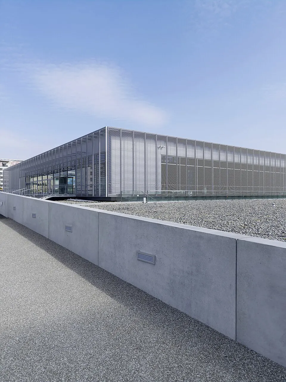
The Topography of Terror is a military museum in Berlin, Germany. It is one of the 56 most looked-up sights in the country on English Wikipedia.
Planning a visit
The museum is located 1 km from the capital, Berlin, and is 18 km from Berlin Brandenburg Airport. Several sights are within walking distance, including Checkpoint Charlie at 0.5 km and the Memorial to the Murdered Jews of Europe and the Jewish Museum Berlin, both 0.9 km away. The Neue Nationalgalerie is 1.1 km away, and the Brandenburg Gate is 1.2 km from the museum.
Temperatures vary throughout the year. The warmest months are July and August, with daily highs of 23 °C and lows of 15 °C. The coldest months are January and February, with highs of 3 °C to 4 °C and lows of -2 °C. Rainfall is most frequent in June, which has about 10 rainy days and 60 mm of rain. April has the fewest rainy days, with about 8. The museum is open from 10:00 to 20:00 Monday through Sunday and on public holidays, but it is closed on January 1, December 24, and December 31. There is no fee for entry, and the site is wheelchair accessible.
Weather by month
The warmest month is July, with an average high of 23 °C. Rain is spread fairly evenly through the year.
| Jan | Feb | Mar | Apr | May | Jun | Jul | Aug | Sep | Oct | Nov | Dec | |
|---|---|---|---|---|---|---|---|---|---|---|---|---|
| Average high, °C | 3 | 4 | 8 | 13 | 19 | 21 | 23 | 23 | 19 | 13 | 7 | 3 |
| Average low, °C | -2 | -1 | 1 | 4 | 9 | 12 | 15 | 15 | 11 | 7 | 3 | -1 |
| Rainfall, mm | 48 | 39 | 46 | 33 | 57 | 60 | 59 | 59 | 48 | 40 | 46 | 53 |
| Rainy days | 13 | 11 | 10 | 9 | 9 | 10 | 12 | 11 | 7 | 12 | 11 | 13 |
Temperatures and rainfall: 1981–2010 averages for this spot (4 km grid), from CHELSA. Rainy days: 2015–2024, NASA POWER.