Gibraltar
Territory · Europe, Southern Europe
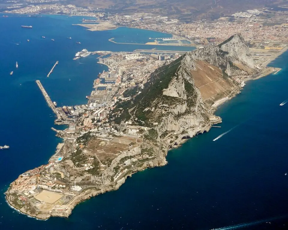
Gibraltar is a territory located in Southern Europe, bordering Spain by land and sea. With a population of about 40,000 people living within 6.84 square kilometers, it offers visitors access to various nature reserves and historical sites.
Highlights
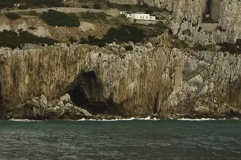
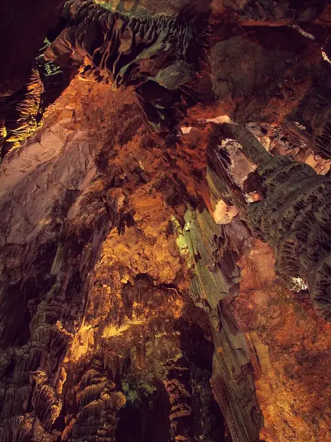
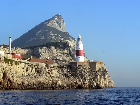
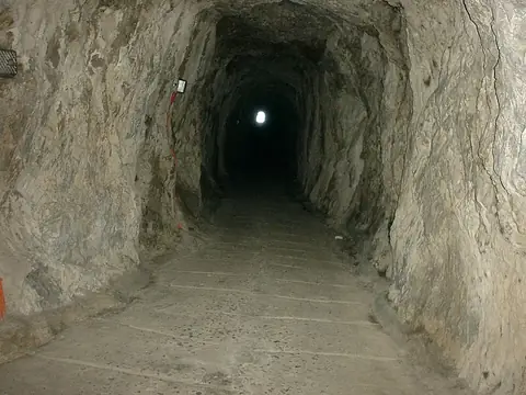
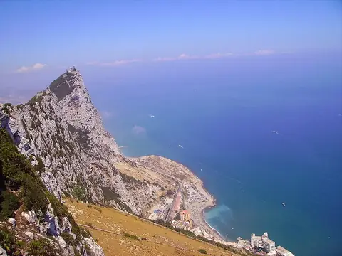
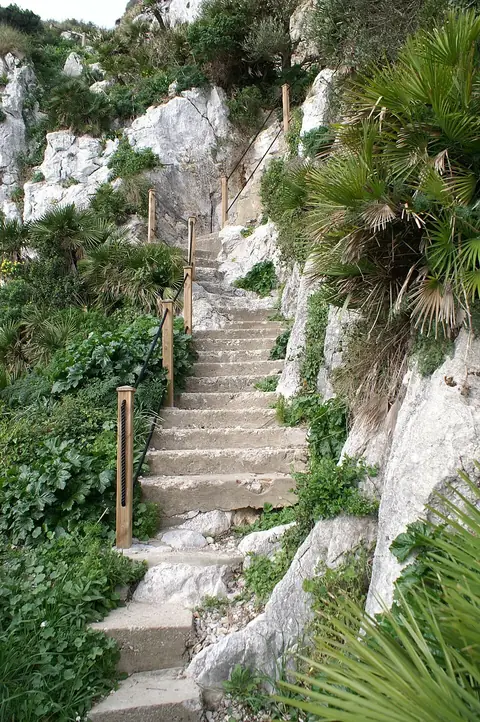
This guide covers 6 main sights. Natural and geological features include the Gibraltar Nature Reserve, St. Michael's Cave, and Gorham's Cave. For views and historical structures, travelers can visit Europa Point, the Great Siege Tunnels, and the Mediterranean Steps.
When to go
The climate in the capital, Gibraltar, is generally mild. The warmest months are July and August, with daily highs of 25 °C and almost no rain. Rainfall is highest in December and November, with 176 mm and 132 mm respectively, while the driest period occurs from June through August. Winter months, such as January and February, see daily highs of 15 °C and lows of 12 °C.
Practical notes
The official language is British English and the currency is the Gibraltar pound. The territory operates on UTC+01:00 time. Electrical outlets use type G plugs with a voltage of 240 V. Driving is on the right side of the road.
Top sights in Gibraltar
Weather by month
The warmest month is August, with an average high of 25 °C. The wettest is December, with about 176 mm of rain.
| Jan | Feb | Mar | Apr | May | Jun | Jul | Aug | Sep | Oct | Nov | Dec | |
|---|---|---|---|---|---|---|---|---|---|---|---|---|
| Average high, °C | 15 | 15 | 16 | 17 | 20 | 23 | 25 | 25 | 23 | 21 | 18 | 16 |
| Average low, °C | 12 | 12 | 13 | 14 | 16 | 18 | 21 | 21 | 20 | 18 | 15 | 13 |
| Rainfall, mm | 109 | 100 | 69 | 70 | 30 | 8 | 2 | 5 | 26 | 85 | 132 | 176 |
| Rainy days | 8 | 7 | 10 | 7 | 5 | 1 | 0 | 1 | 3 | 8 | 9 | 8 |
Temperatures and rainfall: 1981–2010 averages for Gibraltar (4 km grid), from CHELSA. Rainy days: 2015–2024, NASA POWER.