Mount Lycabettus Λυκαβηττός
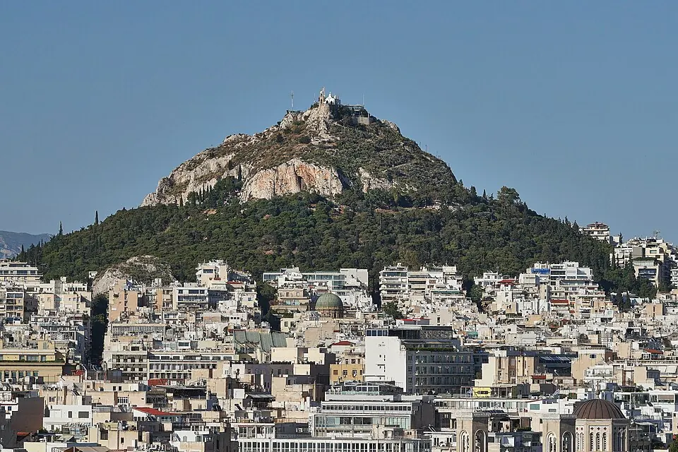
Mount Lycabettus is a mountain and hill in the Athens Municipality with an elevation of 277 m. It is part of the Penteliko Mountain and is one of the 39 most looked-up sights in Greece on English Wikipedia. The name is based on the word for wolf.
Planning a visit
The warmest months are July and August, when daily highs reach about 33 °C and lows are around 22 °C. These months are also the driest, with about 6 to 9 mm of rain. In the spring, such as in May, highs reach about 25 °C with 18 mm of rain. The coolest months are January and February, with highs of 12 °C and lows of 5 °C. The highest rainfall occurs in December, with about 68 mm, followed by November with about 62 mm.
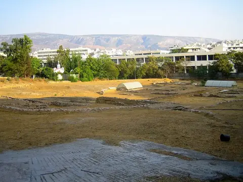
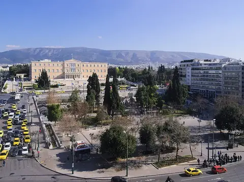
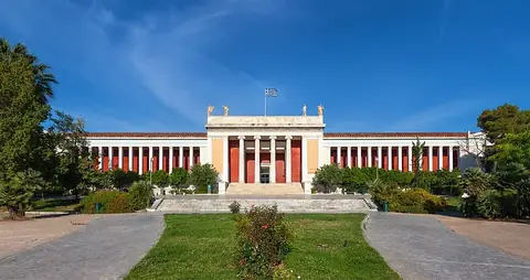
Mount Lycabettus is 2 km from Athens. The nearest airport is Athens Eleftherios Venizelos International Airport, which is 18 km away. Nearby sights include the Lyceum, which is 1.1 km away, the Hellenic Parliament, 1.2 km away, and Syntagma Square, 1.4 km away. The National Archaeological Museum is 1.5 km away, and the Panathenaic Stadium is 1.7 km away.
Weather by month
The warmest month is July, with an average high of 33 °C. The wettest is December, with about 68 mm of rain.
| Jan | Feb | Mar | Apr | May | Jun | Jul | Aug | Sep | Oct | Nov | Dec | |
|---|---|---|---|---|---|---|---|---|---|---|---|---|
| Average high, °C | 12 | 12 | 15 | 20 | 25 | 31 | 33 | 32 | 28 | 23 | 17 | 13 |
| Average low, °C | 5 | 5 | 7 | 10 | 14 | 19 | 22 | 21 | 18 | 14 | 10 | 7 |
| Rainfall, mm | 52 | 40 | 47 | 32 | 18 | 8 | 9 | 6 | 15 | 35 | 62 | 68 |
| Rainy days | 11 | 8 | 8 | 5 | 5 | 5 | 3 | 2 | 5 | 5 | 9 | 9 |
Temperatures and rainfall: 1981–2010 averages for this spot (4 km grid), from CHELSA. Rainy days: 2015–2024, NASA POWER.