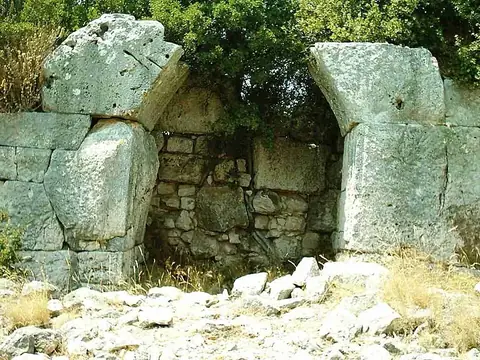
Walls of Thessaloniki
Thessaloniki, Greece UNESCO World Heritage Site
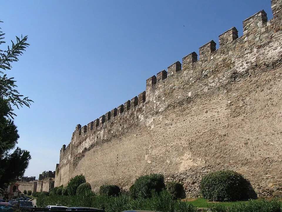
The Walls of Thessaloniki are Byzantine city walls and a geographical feature in Greece. This archaeological site is part of the UNESCO World Heritage Site known as the Paleochristian and Byzantine monuments of Thessaloniki. It is the 79th most looked-up sight in the country on English Wikipedia.
Planning a visit
The warmest months are July and August, when daily highs reach 30 °C and lows are 22 °C. These months are also the driest, with about 4 to 5 rainy days. Spring and autumn offer moderate temperatures, such as in May with highs of 23 °C or September with highs of 26 °C. The coldest months are January and December, with daily highs around 9 °C and lows between 2 °C and 3 °C. Rainfall is highest in the late autumn and early winter, specifically in December when it reaches about 65 mm.
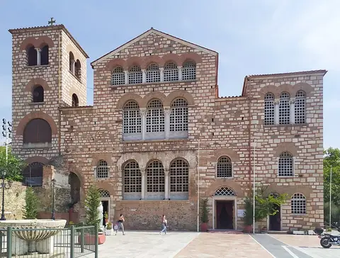
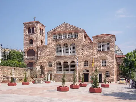
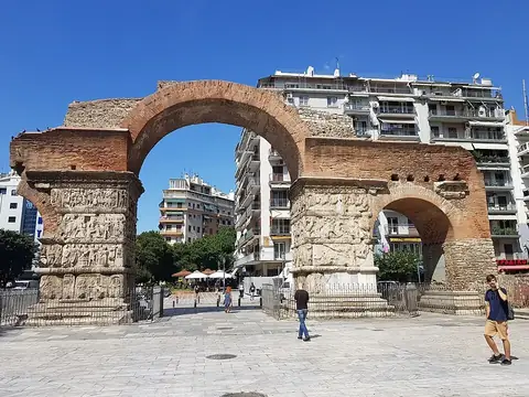
To reach the site, the nearest airport is Thessaloniki Macedonia International Airport, located 14 km away. The site is also 303 km from Athens. Several other historical sites are nearby. Hagios Demetrios and the Paleochristian and Byzantine monuments of Thessaloniki are 0.7 km away. The Church of the Acheiropoietos is 1 km from the walls, while the Arch of Galerius and Rotunda and Hagia Sophia are 1.2 km away.
Weather by month
The warmest month is July, with an average high of 30 °C. Rain is spread fairly evenly through the year.
| Jan | Feb | Mar | Apr | May | Jun | Jul | Aug | Sep | Oct | Nov | Dec | |
|---|---|---|---|---|---|---|---|---|---|---|---|---|
| Average high, °C | 9 | 10 | 13 | 18 | 23 | 28 | 30 | 30 | 26 | 20 | 14 | 9 |
| Average low, °C | 2 | 3 | 6 | 10 | 15 | 19 | 22 | 22 | 18 | 13 | 7 | 3 |
| Rainfall, mm | 41 | 40 | 44 | 44 | 52 | 38 | 28 | 27 | 33 | 53 | 62 | 65 |
| Rainy days | 8 | 7 | 9 | 7 | 9 | 9 | 4 | 5 | 6 | 5 | 8 | 7 |
Temperatures and rainfall: 1981–2010 averages for this spot (4 km grid), from CHELSA. Rainy days: 2015–2024, NASA POWER.