Greenland ice sheet
Kangerlussuaq, Greenland
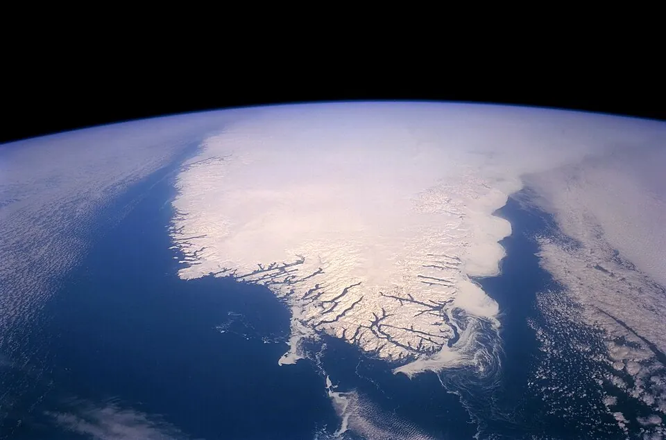
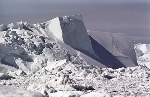
The Greenland ice sheet is an ice sheet located in Kangerlussuaq, Greenland, and is part of the Arctic ice pack. Covering 1,700,000 square kilometers, it is one of the most looked-up sights in Greenland. It stands as a major natural feature in the region.
Planning a visit
Temperature conditions vary across the year. January through March see daily highs of -36 °C and lows of -42 °C, with monthly rain between 5 mm and 6 mm. July is the warmest month with daily highs of -9 °C and lows of -14 °C, alongside 13 mm of rain on about 3 days. Precipitation remains low in all months, ranging from 5 mm to 13 mm.
The site is located 1,441 km from Nuuk. It is accessed via Kangerlussuaq.
Weather by month
The warmest month is July, with an average high of -9 °C. Rain is spread fairly evenly through the year.
| Jan | Feb | Mar | Apr | May | Jun | Jul | Aug | Sep | Oct | Nov | Dec | |
|---|---|---|---|---|---|---|---|---|---|---|---|---|
| Average high, °C | -35 | -36 | -36 | -28 | -19 | -11 | -9 | -13 | -21 | -29 | -32 | -34 |
| Average low, °C | -42 | -42 | -41 | -34 | -25 | -17 | -14 | -18 | -26 | -34 | -38 | -40 |
| Rainfall, mm | 6 | 6 | 5 | 7 | 6 | 8 | 13 | 13 | 9 | 7 | 7 | 6 |
| Rainy days | 2 | 0 | 1 | 2 | 1 | 4 | 3 | 5 | 4 | 2 | 1 | 1 |
Temperatures and rainfall: 1981–2010 averages for this spot (4 km grid), from CHELSA. Rainy days: 2015–2024, NASA POWER.