Kangchenjunga कंचनजंघा
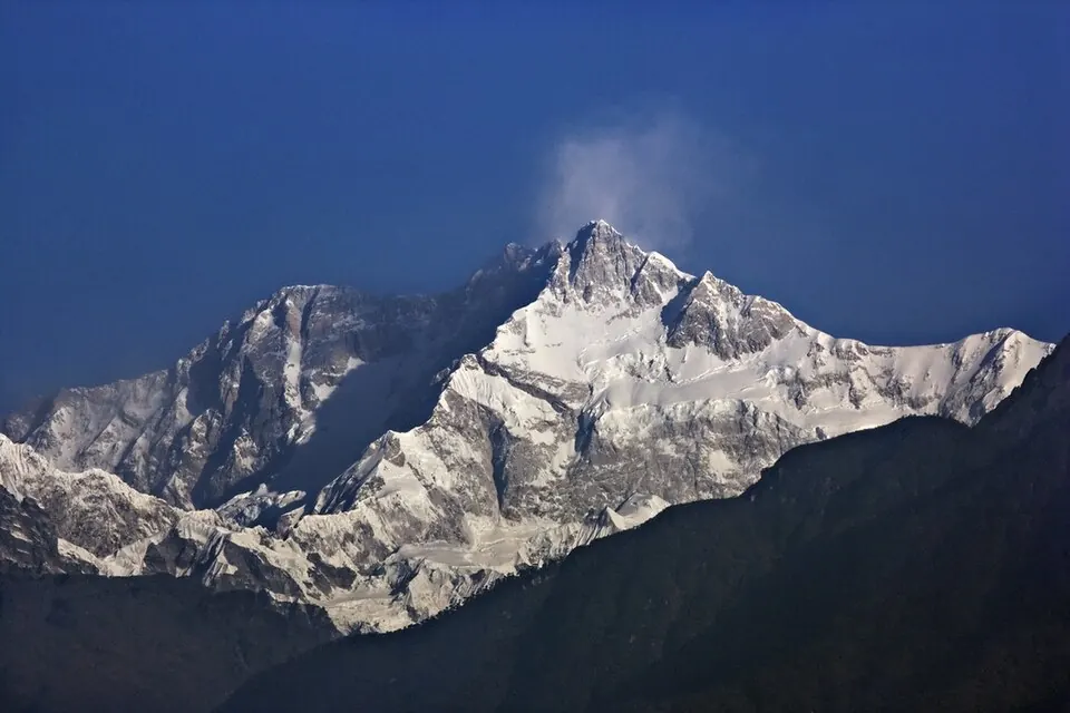
Kangchenjunga is a mountain and sacred mountain located in the Himalayas in Sikkim, India. It reaches an elevation of 8,586 meters and is part of the Seven Third Summits. It is one of the most looked-up sights in India.
Planning a visit
The mountain experiences extreme cold throughout the year, with daily highs rarely rising above freezing. The driest months are November and December, which see minimal rainfall of about 45 to 49 mm on only one day each. Conditions become significantly wetter from May through September, with rainfall peaking in July at 804 mm. Visitors should be prepared for sub-zero temperatures in every month.
The nearest airport is Taplejung Airport in Nepal, located 59 km away. For international travel, Bagdogra Airport in Siliguri, India, is 115 km from the mountain. Kangchenjunga is located 1,077 km from New Delhi.
Weather by month
The warmest month is July, with an average high of 0 °C. The wettest is July, with about 804 mm of rain.
| Jan | Feb | Mar | Apr | May | Jun | Jul | Aug | Sep | Oct | Nov | Dec | |
|---|---|---|---|---|---|---|---|---|---|---|---|---|
| Average high, °C | -15 | -15 | -12 | -8 | -4 | -1 | 0 | 0 | -2 | -6 | -10 | -13 |
| Average low, °C | -20 | -20 | -18 | -14 | -9 | -5 | -4 | -4 | -6 | -11 | -15 | -18 |
| Rainfall, mm | 64 | 88 | 145 | 248 | 328 | 538 | 804 | 752 | 544 | 208 | 49 | 45 |
| Rainy days | 2 | 4 | 12 | 17 | 25 | 28 | 31 | 30 | 26 | 11 | 1 | 1 |
Temperatures and rainfall: 1981–2010 averages for this spot (4 km grid), from CHELSA. Rainy days: 2015–2024, NASA POWER.