Mount Agung
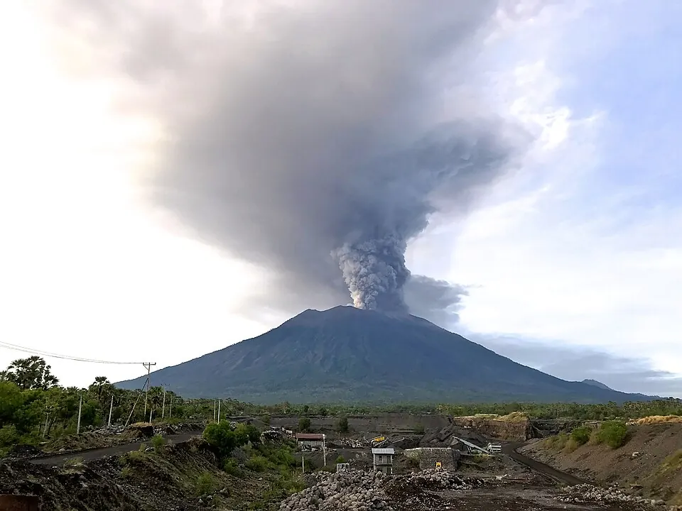
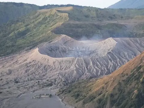
Mount Agung is a stratovolcano and mountain located in Karangasem, Indonesia. Reaching an elevation of 3031 meters, it ranks as one of the most looked-up sights in Indonesia on English Wikipedia.
Planning a visit
The drier months run from July to September, with rain falling on only 5 to 6 days per month and monthly rainfall between 54 mm and 126 mm. The wetter period spans from November to April, recording high rainfall amounts exceeding 370 mm and up to 603 mm in January across 26 to 28 rainy days. Temperatures remain fairly stable throughout the year, with daily highs between 17 °C and 20 °C and lows from 10 °C to 13 °C.
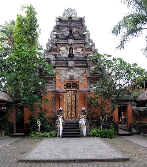
The nearest airport is Denpasar I Gusti Ngurah Rai International Airport in Kuta, Badung, located 59 km away. The site is 987 km from Jakarta. Nearby sights include Tirta Empul at 22.8 km, Goa Gajah at 31.6 km, Ubud Palace at 32.6 km, and Pura Ulun Danu Bratan at 38.4 km.
Weather by month
The warmest month is October, with an average high of 20 °C. The wettest is January, with about 603 mm of rain.
| Jan | Feb | Mar | Apr | May | Jun | Jul | Aug | Sep | Oct | Nov | Dec | |
|---|---|---|---|---|---|---|---|---|---|---|---|---|
| Average high, °C | 18 | 18 | 18 | 18 | 18 | 17 | 17 | 18 | 19 | 20 | 19 | 18 |
| Average low, °C | 13 | 13 | 13 | 13 | 12 | 12 | 11 | 11 | 12 | 12 | 13 | 13 |
| Rainfall, mm | 603 | 552 | 376 | 231 | 152 | 121 | 126 | 54 | 81 | 158 | 280 | 483 |
| Rainy days | 28 | 27 | 27 | 19 | 10 | 11 | 7 | 5 | 6 | 11 | 21 | 27 |
Temperatures and rainfall: 1981–2010 averages for this spot (4 km grid), from CHELSA. Rainy days: 2015–2024, NASA POWER.