Mount Tambora
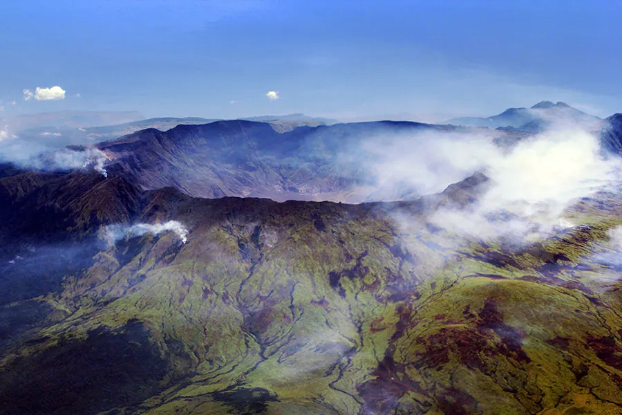
Mount Tambora is a stratovolcano, mountain, and caldera located in Bima, Indonesia. Rising to an elevation of 2,850 meters, it is one of the most looked-up sights in Indonesia.
Planning a visit
The dry season, from June to September, offers the most favorable conditions for a visit. During these months, rainfall decreases significantly, dropping to as low as 12 mm in August, while daily temperatures remain steady between 13 °C and 21 °C. Conversely, the period from November to March experiences heavy rainfall, with up to 444 mm recorded in January.
The nearest airport is Sultan Muhammad Kaharuddin III Airport in Sumbawa Besar, located 69 km away. Travelers can also access the region via Lombok International Airport, which is 197 km away. Mount Tambora is 1,253 km from the capital, Jakarta.
Weather by month
Temperatures stay much the same all year, around 17 °C on average. The wettest is January, with about 444 mm of rain.
| Jan | Feb | Mar | Apr | May | Jun | Jul | Aug | Sep | Oct | Nov | Dec | |
|---|---|---|---|---|---|---|---|---|---|---|---|---|
| Average high, °C | 19 | 19 | 20 | 20 | 20 | 19 | 19 | 20 | 21 | 22 | 21 | 20 |
| Average low, °C | 16 | 16 | 16 | 15 | 15 | 14 | 13 | 13 | 14 | 15 | 15 | 16 |
| Rainfall, mm | 444 | 434 | 334 | 200 | 126 | 51 | 38 | 12 | 36 | 89 | 276 | 390 |
| Rainy days | 27 | 26 | 27 | 18 | 9 | 10 | 4 | 3 | 4 | 10 | 20 | 28 |
Temperatures and rainfall: 1981–2010 averages for this spot (4 km grid), from CHELSA. Rainy days: 2015–2024, NASA POWER.