Ujung Kulon National Park Taman Nasional Ujung Kulon
Indonesia UNESCO World Heritage Site
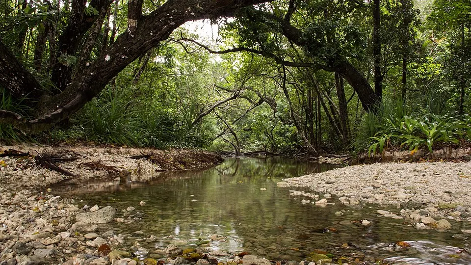
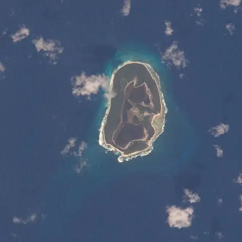
Ujung Kulon National Park is a national park in Indonesia and a UNESCO World Heritage Site. It covers an area of about 1,206 km² across the Banten and Lampung regions.
Planning a visit
The best time to visit is during the drier months of July, August, and September, when rainfall is at its lowest, ranging from about 80 mm to 157 mm. The temperature remains steady throughout the year, with averages between 26 °C and 27 °C. In contrast, the months from December to March are the wettest, with some months seeing nearly 30 days of rain.
To reach the park, travelers can fly into Soekarno-Hatta International Airport in Jakarta, which is 162 km away. The park is located about 177 km from Jakarta. For more information, you can visit the official website at http://ujungkulon.org/.
Weather by month
Temperatures stay much the same all year, around 26 °C on average. The wettest is January, with about 586 mm of rain.
| Jan | Feb | Mar | Apr | May | Jun | Jul | Aug | Sep | Oct | Nov | Dec | |
|---|---|---|---|---|---|---|---|---|---|---|---|---|
| Average temperature, °C | 26 | 26 | 27 | 27 | 27 | 27 | 26 | 26 | 26 | 26 | 26 | 26 |
| Rainfall, mm | 586 | 512 | 380 | 247 | 214 | 157 | 124 | 80 | 89 | 152 | 317 | 432 |
| Rainy days | 29 | 27 | 30 | 28 | 25 | 23 | 15 | 11 | 15 | 20 | 27 | 27 |
Temperatures and rainfall: 1981–2010 averages for this spot (4 km grid), from CHELSA. Rainy days: 2015–2024, NASA POWER.