Nasiriyah
City in Iraq
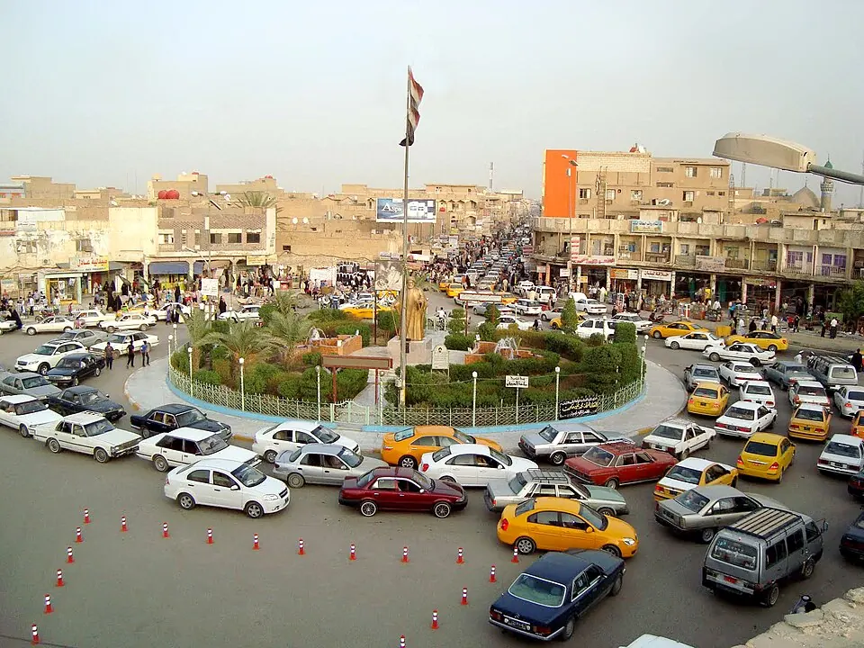
Nasiriyah is a city in southern Iraq with a population of about 542,000. It is located 309 km from the capital, Baghdad, and serves as a gateway to major archaeological sites in the region.
What to see
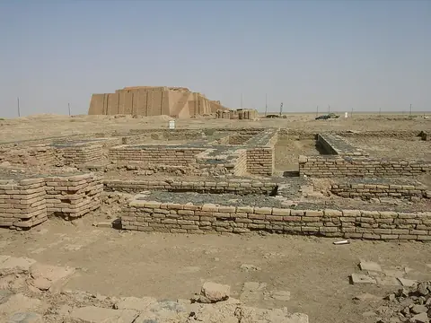
The primary attractions near Nasiriyah are its ancient historical sites. The area is home to the UNESCO-listed site of Ur and the archaeological site of Larsa. Additionally, Girsu is located in the vicinity.
When to go
The climate in Nasiriyah features very hot summers and mild winters. From June through August, daily highs reach between 44 °C and 46 °C with no rain. Temperatures are more moderate from November to March, with daily highs ranging from 17 °C to 26 °C. Rainfall is minimal throughout the year, with the highest frequency of rainy days occurring in March and November.
Getting there
The nearest airport is Basra International Airport, located 145 km from the city.
Top sights in Nasiriyah
Weather by month
The warmest month is July, with an average high of 46 °C. Rain is spread fairly evenly through the year.
| Jan | Feb | Mar | Apr | May | Jun | Jul | Aug | Sep | Oct | Nov | Dec | |
|---|---|---|---|---|---|---|---|---|---|---|---|---|
| Average high, °C | 17 | 21 | 26 | 33 | 40 | 44 | 46 | 46 | 42 | 36 | 26 | 19 |
| Average low, °C | 6 | 8 | 13 | 19 | 25 | 29 | 32 | 31 | 27 | 21 | 14 | 8 |
| Rainfall, mm | 28 | 16 | 19 | 12 | 3 | 0 | 0 | 0 | 0 | 7 | 15 | 20 |
| Rainy days | 2 | 3 | 4 | 2 | 1 | 0 | 0 | 0 | 0 | 1 | 4 | 3 |
Temperatures and rainfall: 1981–2010 averages for Nasiriyah (4 km grid), from CHELSA. Rainy days: 2015–2024, NASA POWER.
Also worth a look
- Girsu