Marmolada
Italy UNESCO World Heritage Site
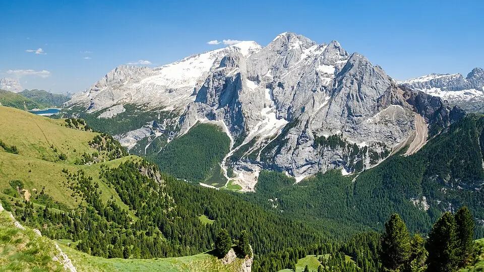
Marmolada is an alpine group reaching an elevation of 3,343 m. It is part of the Dolomites and the Fassa Dolomites, and is included in a UNESCO World Heritage Site.
Planning a visit
The weather varies by month. The warmest months are July and August, with daily highs of about 11 °C to 12 °C and lows of about 1 °C. The coldest month is January, with a high of -9 °C and a low of -19 °C. Rainfall is highest in the summer, with July seeing about 191 mm of rain over 22 days, while January and February have about 8 days of rain each.
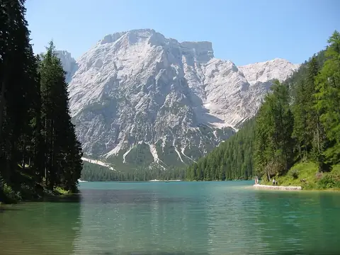
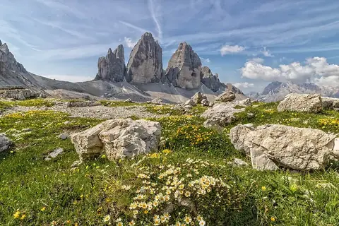
Visitors can reach the area via Bolzano Airport, which is 40 km away, or Treviso Airport, located 90 km away. Marmolada is about 506 km from Rome. Nearby sights include Pragser Wildsee, 35 km away, and Tre Cime di Lavaredo, 41 km away.
Weather by month
The warmest month is July, with an average high of 12 °C. Rain is spread fairly evenly through the year.
| Jan | Feb | Mar | Apr | May | Jun | Jul | Aug | Sep | Oct | Nov | Dec | |
|---|---|---|---|---|---|---|---|---|---|---|---|---|
| Average high, °C | -9 | -7 | -4 | 0 | 5 | 9 | 12 | 11 | 8 | 3 | -3 | -8 |
| Average low, °C | -19 | -17 | -13 | -10 | -5 | -1 | 1 | 1 | -2 | -6 | -12 | -18 |
| Rainfall, mm | 67 | 58 | 85 | 136 | 185 | 189 | 191 | 171 | 147 | 168 | 118 | 83 |
| Rainy days | 8 | 8 | 11 | 13 | 22 | 20 | 22 | 20 | 15 | 12 | 10 | 8 |
Temperatures and rainfall: 1981–2010 averages for this spot (4 km grid), from CHELSA. Rainy days: 2015–2024, NASA POWER.