Kumano Hongū Taisha 熊野本宮大社
Japan UNESCO World Heritage Site
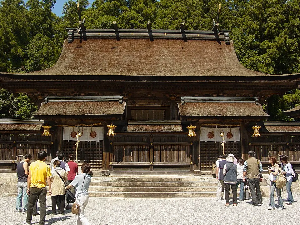
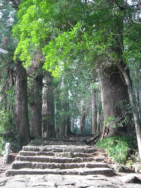
Kumano Hongū Taisha is a Shinto shrine and taisha dedicated to Kumano Gongen. It is part of a UNESCO World Heritage Site and is included within the Sacred Sites and Pilgrimage Routes in the Kii Mountain Range.
Planning a visit
The shrine is open from 08:00 to 17:00, Monday through Sunday, and there is no fee to visit. The site is located about 413 km from Tokyo. For travelers flying into the region, Nanki Shirahama Airport is 43 km away, while Kansai International Airport is 81 km from the site.
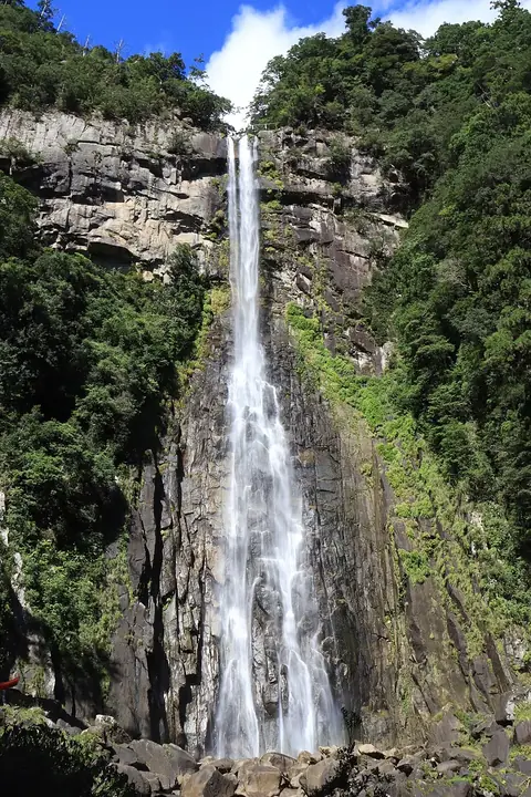
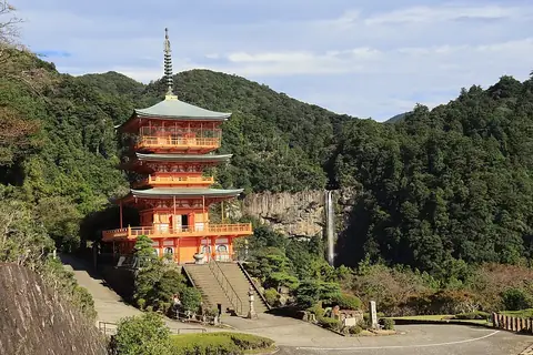
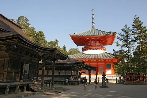
Visitors can combine a trip to the shrine with nearby locations such as the Sacred Sites and Pilgrimage Routes in the Kii Mountain Range, which is 0.5 km away. Other nearby sites include Nachi Falls and Seiganto-ji, both about 22 km away, and Mount Kōya, which is 45.5 km from the shrine.
Climate conditions vary by month. The warmest months are July and August, with daily highs reaching 28 °C and 29 °C. The wettest period occurs between June and September, with September seeing the most rain at 355 mm over about 20 days. The coolest months are January and February, when daily lows are around 2 °C.
Weather by month
The warmest month is August, with an average high of 29 °C. The wettest is September, with about 355 mm of rain.
| Jan | Feb | Mar | Apr | May | Jun | Jul | Aug | Sep | Oct | Nov | Dec | |
|---|---|---|---|---|---|---|---|---|---|---|---|---|
| Average high, °C | 8 | 9 | 13 | 18 | 22 | 25 | 28 | 29 | 27 | 21 | 16 | 11 |
| Average low, °C | 2 | 2 | 5 | 10 | 14 | 18 | 23 | 23 | 21 | 15 | 9 | 4 |
| Rainfall, mm | 71 | 89 | 169 | 198 | 249 | 335 | 320 | 274 | 355 | 218 | 146 | 64 |
| Rainy days | 6 | 7 | 11 | 12 | 12 | 17 | 18 | 18 | 20 | 13 | 9 | 7 |
Temperatures and rainfall: 1981–2010 averages for this spot (4 km grid), from CHELSA. Rainy days: 2015–2024, NASA POWER.