Mount Fuji 富士山
Japan UNESCO World Heritage Site
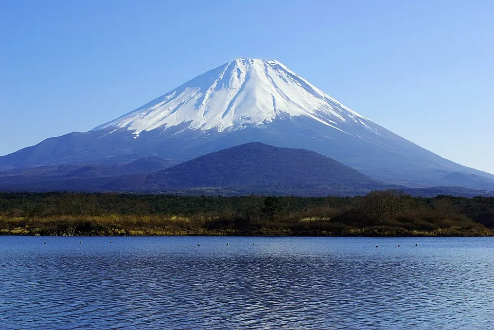
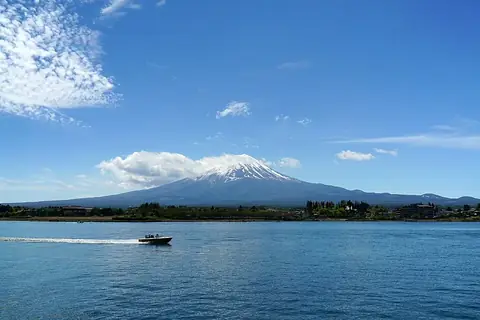
Mount Fuji in Japan is an active volcano, stratovolcano, isolated peak, and the highest point in the country at an elevation of 3777 meters. It is part of a UNESCO World Heritage Site and is one of 113 sights of the country on this site, ranking first by English Wikipedia lookups among the country's sights. The mountain spans Shizuoka Prefecture and Yamanashi Prefecture.
Planning a visit
Daily high temperatures range from -8 °C in January and February to 15 °C in August, with lows reaching -18 °C in January and February and 8 °C in August. Monthly rainfall ranges from 86 mm in December on about 6 days to 414 mm in September on about 18 days.
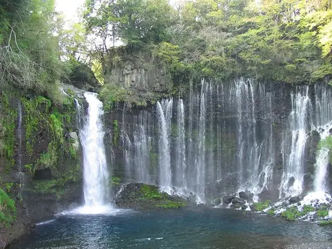
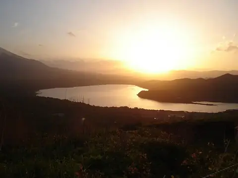
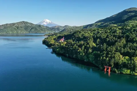
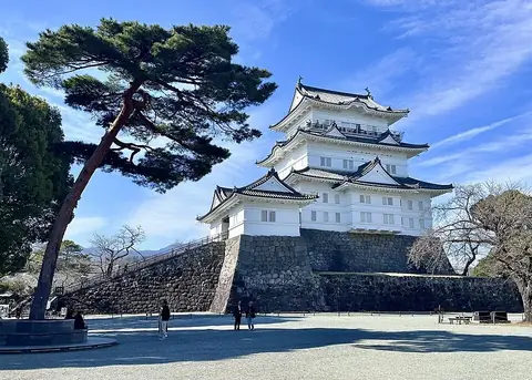
The nearest airport is Mount Fuji Shizuoka Airport in Makinohara and Shimada, located 80 km away, and the sight is 95 km from Tokyo. Nearby sights include Shiraito Falls at 13.7 km, Lake Yamanaka at 14.8 km, Lake Kawaguchi at 17.4 km, Lake Ashi at 30.1 km, and Odawara Castle at 40.5 km.
Weather by month
The warmest month is August, with an average high of 15 °C. The wettest is September, with about 414 mm of rain.
| Jan | Feb | Mar | Apr | May | Jun | Jul | Aug | Sep | Oct | Nov | Dec | |
|---|---|---|---|---|---|---|---|---|---|---|---|---|
| Average high, °C | -8 | -7 | -4 | 2 | 7 | 10 | 14 | 15 | 11 | 6 | 1 | -5 |
| Average low, °C | -18 | -18 | -13 | -7 | -2 | 3 | 7 | 8 | 5 | -2 | -8 | -14 |
| Rainfall, mm | 105 | 122 | 235 | 223 | 236 | 321 | 320 | 381 | 414 | 311 | 164 | 86 |
| Rainy days | 5 | 6 | 11 | 11 | 12 | 17 | 20 | 20 | 18 | 13 | 9 | 6 |
Temperatures and rainfall: 1981–2010 averages for this spot (4 km grid), from CHELSA. Rainy days: 2015–2024, NASA POWER.