Jetisu
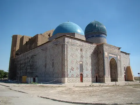
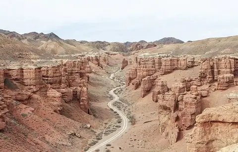
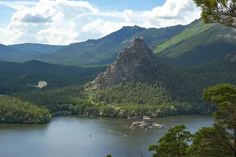
Jetisu is a large landscape region that extends across borders into Kazakhstan, Kyrgyzstan, and Xinjiang. It is one of the most looked-up sights in Kazakhstan, ranking 7th among the country's sights on this site.
Planning a visit
The region experiences significant temperature swings throughout the year. Winter months from December through February see daily highs between -6 °C and -3 °C and lows down to -15 °C. Spring and autumn offer moderate conditions, with highs ranging from 6 °C in March and November to 24 °C in May and September. Summer is the warmest period, with daily highs reaching 30 °C to 32 °C from June through August. Rainfall is relatively consistent year-round, though August and September are the driest months with only 3 to 4 days of rain each.
To reach Jetisu, the nearest airport is Taldykorgan Airport in Kazakhstan, located 44 km away. Travelers can also fly into Almaty International Airport, which is 241 km from the region. From the capital city of Astana, the distance is 803 km. As the region spans across Kazakhstan, Kyrgyzstan, and Xinjiang, travel plans often involve crossing these administrative boundaries.
Weather by month
The warmest month is July, with an average high of 32 °C. Rain is spread fairly evenly through the year.
| Jan | Feb | Mar | Apr | May | Jun | Jul | Aug | Sep | Oct | Nov | Dec | |
|---|---|---|---|---|---|---|---|---|---|---|---|---|
| Average high, °C | -5 | -3 | 6 | 17 | 24 | 30 | 32 | 30 | 24 | 16 | 6 | -3 |
| Average low, °C | -15 | -14 | -7 | 3 | 10 | 15 | 18 | 16 | 10 | 3 | -5 | -12 |
| Rainfall, mm | 20 | 20 | 24 | 24 | 31 | 21 | 27 | 14 | 13 | 24 | 30 | 27 |
| Rainy days | 7 | 7 | 9 | 7 | 7 | 6 | 6 | 4 | 3 | 7 | 9 | 7 |
Temperatures and rainfall: 1981–2010 averages for this spot (4 km grid), from CHELSA. Rainy days: 2015–2024, NASA POWER.