Luang Prabang
City in Laos
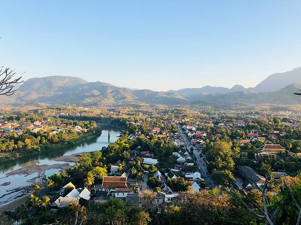
Luang Prabang is a city in Laos with a population of about 54,000. Located 219 kilometers from the capital, Vientiane, the city attracts visitors to its temples, caves, and waterfalls.
What to see
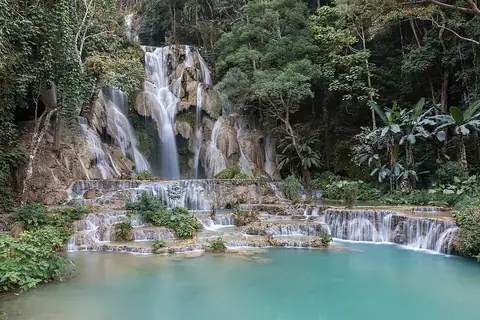
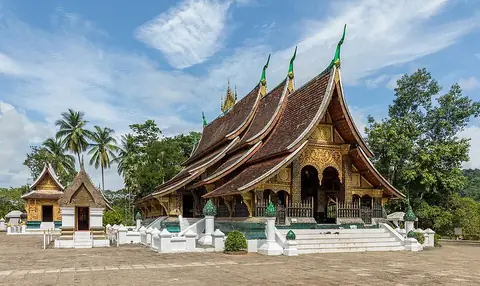
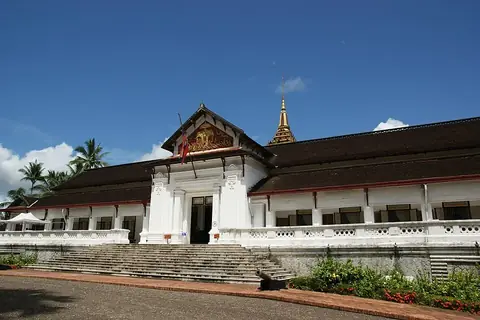
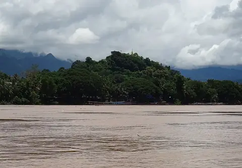
The city features several cultural and natural landmarks. Religious and historic architecture includes Wat Xieng Thong and the Royal Palace. Natural sites surrounding the city are Kuang Si Falls and the Pak Ou Caves. Visitors also travel to the summit of Mount Phou Si.
When to go
The driest months are November through February, which also feature cooler daily highs between 26 °C and 30 °C and lows of 15 °C to 18 °C. Temperatures rise in March and April, reaching highs of 32 °C to 33 °C. The rainy season begins in May and peaks in July and August, when rainfall totals reach 270 mm to 289 mm over approximately 26 days each month.
Getting there
Luang Prabang International Airport is located 4 kilometers from the city.
Top sights in Luang Prabang

Weather by month
The warmest month is April, with an average high of 33 °C. The wettest is August, with about 289 mm of rain.
| Jan | Feb | Mar | Apr | May | Jun | Jul | Aug | Sep | Oct | Nov | Dec | |
|---|---|---|---|---|---|---|---|---|---|---|---|---|
| Average high, °C | 27 | 30 | 32 | 33 | 32 | 31 | 30 | 30 | 30 | 29 | 28 | 26 |
| Average low, °C | 16 | 18 | 20 | 23 | 24 | 24 | 24 | 24 | 23 | 21 | 18 | 15 |
| Rainfall, mm | 10 | 14 | 37 | 97 | 159 | 189 | 270 | 289 | 182 | 98 | 24 | 15 |
| Rainy days | 4 | 3 | 8 | 12 | 21 | 22 | 26 | 26 | 21 | 12 | 5 | 3 |
Temperatures and rainfall: 1981–2010 averages for Luang Prabang (4 km grid), from CHELSA. Rainy days: 2015–2024, NASA POWER.