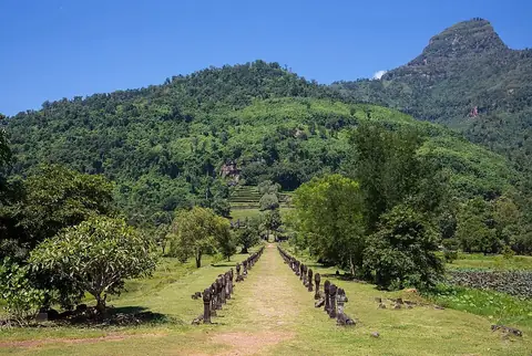
Plain of Jars
Laos UNESCO World Heritage Site
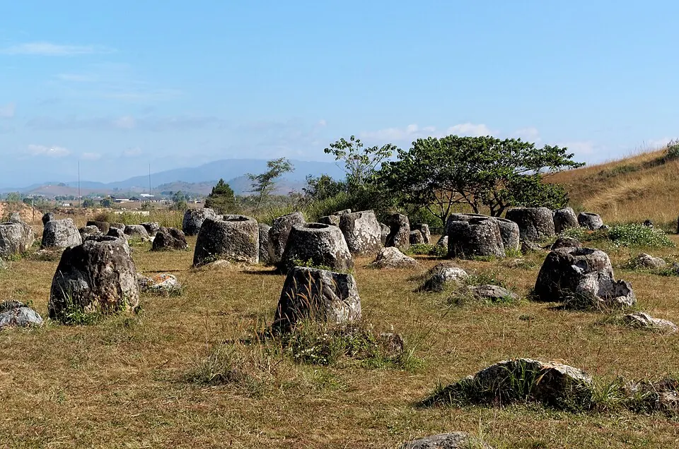
The Plain of Jars is an archaeological site, megalith, plain, and plateau located in Xiangkhouang Province, Laos. It is recognized as a World Heritage Site and sits in the Annamite Range at an elevation of 1,200 meters, covering an area of 1.746 square kilometers. It is one of the most looked-up sights in Laos on English Wikipedia.
Planning a visit
January and December offer daily highs of 22 °C and lows of 9 °C to 10 °C with minimal rain of 7 mm to 9 mm on 3 to 4 days. July and August experience higher rainfall, reaching 280 mm to 296 mm on 27 days with daily highs of 26 °C and lows of 19 °C. The nearest airport is Xieng Khouang Airport in Xieng Khouang, Laos, located 2 km away, while Luang Phabang International Airport is 116 km away. The site is 170 km from Vientiane.
Weather by month
The warmest month is April, with an average high of 27 °C. The wettest is July, with about 296 mm of rain.
| Jan | Feb | Mar | Apr | May | Jun | Jul | Aug | Sep | Oct | Nov | Dec | |
|---|---|---|---|---|---|---|---|---|---|---|---|---|
| Average high, °C | 22 | 25 | 26 | 27 | 27 | 26 | 26 | 26 | 25 | 24 | 23 | 22 |
| Average low, °C | 10 | 12 | 14 | 17 | 19 | 20 | 19 | 19 | 18 | 16 | 12 | 9 |
| Rainfall, mm | 9 | 14 | 49 | 122 | 179 | 206 | 296 | 280 | 159 | 76 | 17 | 7 |
| Rainy days | 4 | 2 | 8 | 13 | 23 | 24 | 27 | 27 | 24 | 13 | 6 | 3 |
Temperatures and rainfall: 1981–2010 averages for this spot (4 km grid), from CHELSA. Rainy days: 2015–2024, NASA POWER.