Lesotho
Country · Africa, Southern Africa
Lesotho is a landlocked country in Southern Africa, completely surrounded by South Africa. It covers 30,000 square kilometers and has a population of about 2.4 million people, with Maseru serving as the capital.
Highlights
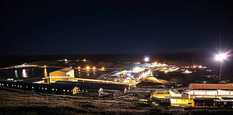
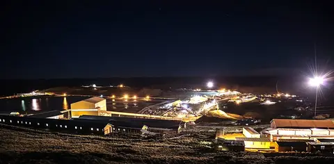
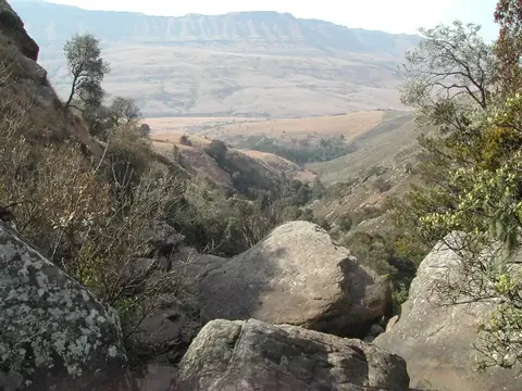
This guide covers 2 primary sights in Lesotho. The country features the Maloti-Drakensberg Park, a UNESCO World Heritage site, and the Letseng diamond mine. Additionally, Sehlabathebe National Park is worth a look. The landscape includes the highest point in the country, Thabana Ntlenyana.
When to go
The climate in Maseru varies significantly by season. If you prefer warmer weather, visit between October and March, when daily highs range from 23 °C to 27 °C. These months also see the most rain, particularly in December and January, which experience about 13 to 14 days of rainfall. The winter months of June and July are dry, with only 2 to 3 rainy days, but temperatures drop significantly, with lows reaching 0 °C and -1 °C.
Practical notes
The official languages are English and Sesotho. The currency used is the loti and the rand. Lesotho operates on UTC+02:00 time. Plugs are type D, and the voltage is 220 V. Traffic drives on the left side of the road.
Top sights in Lesotho
Weather by month
The warmest month is January, with an average high of 27 °C. The wettest is January, with about 103 mm of rain.
| Jan | Feb | Mar | Apr | May | Jun | Jul | Aug | Sep | Oct | Nov | Dec | |
|---|---|---|---|---|---|---|---|---|---|---|---|---|
| Average high, °C | 27 | 26 | 24 | 21 | 17 | 14 | 15 | 18 | 22 | 23 | 25 | 26 |
| Average low, °C | 14 | 14 | 12 | 8 | 4 | 0 | -1 | 2 | 6 | 9 | 11 | 13 |
| Rainfall, mm | 103 | 96 | 90 | 50 | 22 | 14 | 7 | 21 | 21 | 66 | 85 | 85 |
| Rainy days | 13 | 12 | 10 | 9 | 4 | 2 | 3 | 2 | 3 | 6 | 9 | 14 |
Temperatures and rainfall: 1981–2010 averages for Maseru (4 km grid), from CHELSA. Rainy days: 2015–2024, NASA POWER.
Also worth a look
- Sehlabathebe National Park