Gunung Mulu National Park Taman Negara Gunung Mulu
Malaysia UNESCO World Heritage Site
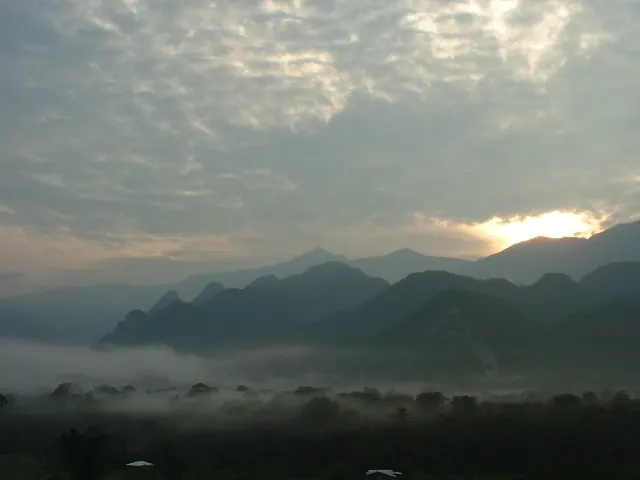
This national park is located in the Marudi District of Sarawak, Malaysia. It is a UNESCO World Heritage Site and a national natural historic site. It is one of the 17 most looked-up sights in Malaysia on English Wikipedia and one of 36 sights on this site.
Planning a visit
This site was established in 1974 and covers an area of about 53,000 km2. Daily high temperatures range from 29 °C to 31 °C, and daily lows are between 22 °C and 23 °C. Rain occurs in every month. January is the wettest month with 484 mm of rain on about 23 days, while June is the driest with 264 mm of rain on about 24 days. Other months with high rainfall include December with 408 mm, April with 398 mm, and May with 392 mm.
Mulu Airport is located 1 km from the park, and Brunei International Airport is 101 km away. The park is 1,459 km from Kuala Lumpur. For more information, visit the website http://www.mulupark.com.
Weather by month
Temperatures stay much the same all year, around 26 °C on average. Rain is spread fairly evenly through the year.
| Jan | Feb | Mar | Apr | May | Jun | Jul | Aug | Sep | Oct | Nov | Dec | |
|---|---|---|---|---|---|---|---|---|---|---|---|---|
| Average high, °C | 29 | 30 | 31 | 31 | 31 | 31 | 31 | 31 | 31 | 30 | 30 | 29 |
| Average low, °C | 22 | 22 | 22 | 22 | 23 | 22 | 22 | 22 | 22 | 22 | 22 | 22 |
| Rainfall, mm | 484 | 302 | 348 | 398 | 392 | 264 | 267 | 283 | 327 | 364 | 384 | 408 |
| Rainy days | 23 | 16 | 19 | 21 | 25 | 24 | 21 | 23 | 23 | 26 | 28 | 27 |
Temperatures and rainfall: 1981–2010 averages for this spot (4 km grid), from CHELSA. Rainy days: 2015–2024, NASA POWER.