Martinique
Territory · Americas, Caribbean
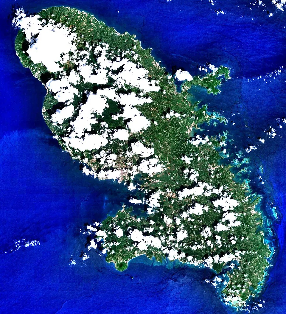
Martinique is a Caribbean territory in the Americas and a sovereign part of France. With an area of 1,128 square kilometers and a population of about 360,000, it offers travelers a mix of French culture and Caribbean geography, including its highest point, Mount Pelée.
Highlights
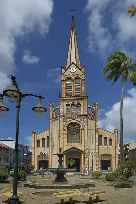
This guide covers 1 sight in the territory. In the capital, Fort-de-France, visitors can see the St. Louis Cathedral.
When to go
The climate in the capital, Fort-de-France, remains warm throughout the year, with average temperatures ranging from 25 °C to 27 °C. Rainfall varies significantly by month. February and March are the driest months, with about 78 to 79 millimeters of rain. Rainfall increases toward the middle and end of the year, with August, October, and November experiencing over 220 millimeters of rain on approximately 20 to 21 days.
Practical notes
The official language is French, and the currency is the euro. The territory uses 220-volt electricity with type C and E plugs. Traffic drives on the right side of the road. The time zone is UTC−04:00.
Top sights in Martinique
Weather by month
The warmest month is September, averaging 27 °C. The wettest is August, with about 261 mm of rain.
| Jan | Feb | Mar | Apr | May | Jun | Jul | Aug | Sep | Oct | Nov | Dec | |
|---|---|---|---|---|---|---|---|---|---|---|---|---|
| Average temperature, °C | 25 | 25 | 25 | 26 | 26 | 27 | 27 | 27 | 27 | 27 | 26 | 25 |
| Rainfall, mm | 112 | 78 | 79 | 96 | 138 | 175 | 222 | 261 | 224 | 226 | 233 | 140 |
| Rainy days | 13 | 8 | 11 | 10 | 11 | 18 | 21 | 21 | 18 | 21 | 20 | 15 |
Temperatures and rainfall: 1981–2010 averages for Fort-de-France (4 km grid), from CHELSA. Rainy days: 2015–2024, NASA POWER.