La Quemada
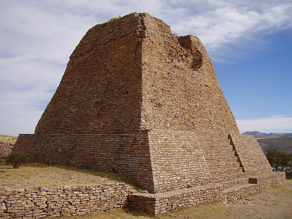
La Quemada is an archaeological site in Zacatecas, Mexico. It is a Tentative World Heritage Site and is the 63rd most looked-up sight in the country on English Wikipedia.
Planning a visit
The site is 515 km from Mexico City. The nearest airport is General Leobardo C. Ruiz International Airport, which is 51 km away, while Aguascalientes International Airport is 99 km away. A visit can be combined with the Cathedral Basilica of Zacatecas or Camino Real de Tierra Adentro, located about 44 km and 48 km away. The site is open daily from 09:00 to 17:00 and the admission price is M$70.
March is a dry month with 4 mm of rain. The rainy season occurs from June to September, with July seeing the most rain at 134 mm over 22 days and August seeing 112 mm over 19 days. In October, rain decreases to 34 mm over 8 days. Temperatures fluctuate, with January having a high of 19 °C and a low of 6 °C, while May has a high of 28 °C and a low of 13 °C.
Weather by month
The warmest month is May, with an average high of 28 °C. The wettest is July, with about 134 mm of rain.
| Jan | Feb | Mar | Apr | May | Jun | Jul | Aug | Sep | Oct | Nov | Dec | |
|---|---|---|---|---|---|---|---|---|---|---|---|---|
| Average high, °C | 19 | 21 | 24 | 26 | 28 | 27 | 25 | 24 | 23 | 23 | 22 | 20 |
| Average low, °C | 6 | 7 | 8 | 11 | 13 | 14 | 13 | 13 | 13 | 11 | 8 | 7 |
| Rainfall, mm | 25 | 13 | 4 | 7 | 17 | 86 | 134 | 112 | 89 | 34 | 10 | 13 |
| Rainy days | 2 | 2 | 2 | 1 | 4 | 13 | 22 | 19 | 16 | 8 | 2 | 2 |
Temperatures and rainfall: 1981–2010 averages for this spot (4 km grid), from CHELSA. Rainy days: 2015–2024, NASA POWER.