Riviera Maya
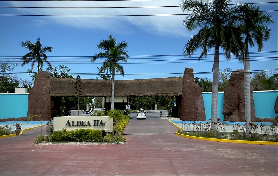
Riviera Maya is a tourist destination and area in the Mexican state of Quintana Roo. It is one of the 66 sights in Mexico listed on this site and is the 14th most looked-up sight in the country on English Wikipedia.
Planning a visit
The weather varies by month. The warmest months are June, July, August, and September, with daily highs of about 29 °C. September is the wettest month with about 207 mm of rain over 24 days. The driest period is between February and April, when monthly rainfall ranges from about 48 mm to 60 mm. January and December also have relatively low rainfall, with about 71 mm to 72 mm.
To reach the area, you can fly into Cozumel International Airport, which is 20 km away. Riviera Maya is located about 1,268 km from Mexico City. For more information, you can visit the official website at https://www.mexicancaribbean.travel/riviera-maya/.
Weather by month
The warmest month is August, with an average high of 29 °C. The wettest is September, with about 207 mm of rain.
| Jan | Feb | Mar | Apr | May | Jun | Jul | Aug | Sep | Oct | Nov | Dec | |
|---|---|---|---|---|---|---|---|---|---|---|---|---|
| Average high, °C | 25 | 26 | 27 | 28 | 29 | 29 | 29 | 29 | 29 | 28 | 27 | 26 |
| Average low, °C | 22 | 23 | 23 | 24 | 25 | 26 | 26 | 26 | 26 | 25 | 24 | 23 |
| Rainfall, mm | 72 | 48 | 60 | 50 | 112 | 174 | 115 | 153 | 207 | 194 | 108 | 71 |
| Rainy days | 14 | 8 | 8 | 6 | 11 | 19 | 19 | 23 | 24 | 23 | 17 | 15 |
Temperatures and rainfall: 1981–2010 averages for this spot (4 km grid), from CHELSA. Rainy days: 2015–2024, NASA POWER.