Yaxchilan
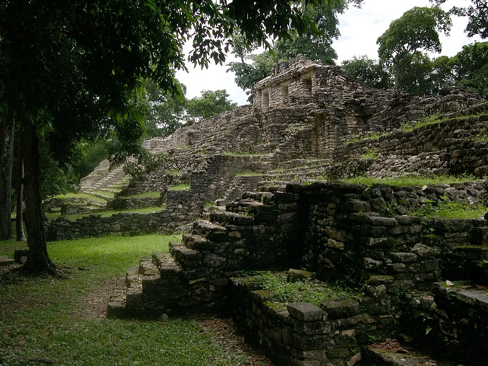
Yaxchilan is an archaeological site in Mexico. It is one of the most looked-up sights in the country on English Wikipedia, ranking 46th.
Planning a visit
The months with the lowest rainfall are February, March, and April, with rainfall between 40 mm and 54 mm and approximately 7 to 8 rainy days per month. The highest temperatures occur in April and May, with daily highs of 34 °C and lows of 23 °C or 24 °C. From June through September, the site is wetter, with rainfall between 316 mm and 357 mm and about 22 to 26 rainy days per month.
Yaxchilan is 905 km from Mexico City. The nearest airport is Mundo Maya International Airport in San Benito, Guatemala, 117 km away. Another option is the Carlos Rovirosa Pérez International Airport in Villahermosa, Mexico, which is 231 km from the site.
Weather by month
The warmest month is April, with an average high of 34 °C. The wettest is September, with about 357 mm of rain.
| Jan | Feb | Mar | Apr | May | Jun | Jul | Aug | Sep | Oct | Nov | Dec | |
|---|---|---|---|---|---|---|---|---|---|---|---|---|
| Average high, °C | 26 | 28 | 31 | 34 | 34 | 31 | 30 | 30 | 30 | 28 | 27 | 26 |
| Average low, °C | 19 | 20 | 21 | 23 | 24 | 23 | 23 | 23 | 23 | 22 | 21 | 20 |
| Rainfall, mm | 74 | 54 | 40 | 50 | 150 | 318 | 316 | 335 | 357 | 224 | 123 | 98 |
| Rainy days | 13 | 8 | 8 | 7 | 15 | 24 | 22 | 26 | 26 | 23 | 18 | 13 |
Temperatures and rainfall: 1981–2010 averages for this spot (4 km grid), from CHELSA. Rainy days: 2015–2024, NASA POWER.